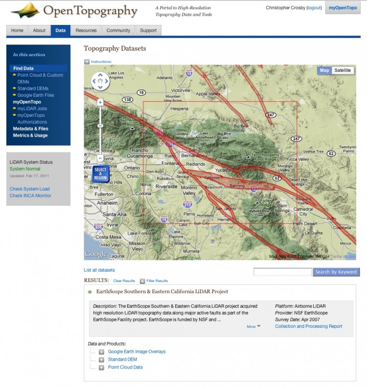
New OpenTopography Data Discovery Interface Released (OT v 3.0)
OpenTopography is pleased to announce the release (OT v 3.0) of an updated data discovery interface which we hope will make it easier to for users to learn about hosted data and to access available data products. The new interface continues to rely on the familiar Google Maps display, but now users are able to select an area on the map, discover data that covers that area, and then link directly to the appropriate page to download and process data. Results for a selected area appear below the map. The new interface moves more metadata to the data discovery page, providing information about the data set type (e.g., airborne vs terrestrial lidar data), shot density, data provider, and data set description. The new interface also provides keyword search so data can be discovered via search terms in addition to spatial coverage.
To try out he new interface, click the Find Data button on the OpenTopography home page, or visit: http://www.opentopography.org/data
This new interface was developed to better allow OpenTopography to act as a lidar data discovery portal, and this release is the first step in the process of providing better linkages to public domain lidar data hosted by OpenTopography and other online data providers. Related to this goal, we have more work planned in the coming months - stay tuned!
Also addressed in the OT v 3.0 release are a variety of bug fixes, performance improvements, and minor user interface adjustments.
As always, we welcome your comments and feedback.
Screen capture, OpenTopography 3.0 data discovery interface:

