New NCALM lidar data over Yosemite National Park, California
OpenTopography is pleased to announce the release of a new lidar dataset covering approximately 74 km2 covering the Illilouette Creek basin in Yosemite National Park, California. This dataset was collected for Dr. Sally Thompson at the University of California, Berkeley in order to assess the occurrence and characteristics of post-fire erosion gullies caused by the Empire Fire in the Illilouette Creek basin. Data were collected by NCALM, an NSF-funded center that supports the use of airborne laser mapping technology (a.k.a. lidar) in the scientific community and is jointly operated by the Department of Civil & Environmental Engineering, Cullen College of Engineering, University of Houston and the Department of Earth and Planetary Science, University of California, Berkeley. OpenTopography is the primary distributor of NCALM data.
Get the data:

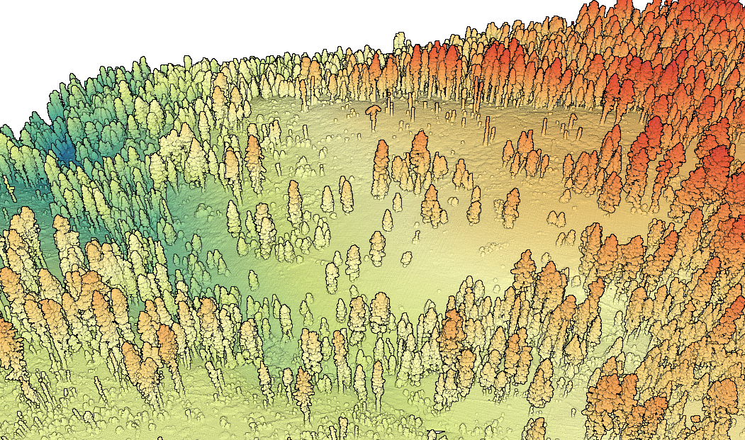
Lidar point cloud colored by elevation over a meadow in Yosemite Valley, California.
Slider image showing OpenTopography's derived Canopy Height Model (CHM) with a hillshade of the Digital Surface Model (DSM) to highlight tree locations. OpenTopography's Canopy Height Model visualizes tree height in shades of green and the ground surface as brown.
