New NCALM dataset in Tahoe National Forest available
A new lidar dataset covering approximately 62 km2 within Tahoe National Forest near Truckee, California is now available on OpenTopography. This lidar dataset was collected as part of a National Center for Airborne Laser Mapping (NCALM) Seed grant for Louis Graup at the University of California, Santa Barbara. This study used airborne lidar to study how to preserve mountains as "water towers" through forest management.
NCALM is an NSF-funded center that supports the use of airborne laser mapping technology (a.k.a. lidar) in the scientific community and is jointly operated by the Department of Civil & Environmental Engineering, Cullen College of Engineering, University of Houston and the Department of Earth and Planetary Science, University of California, Berkeley. OpenTopography is the primary distributor of NCALM data.
Find the data here:

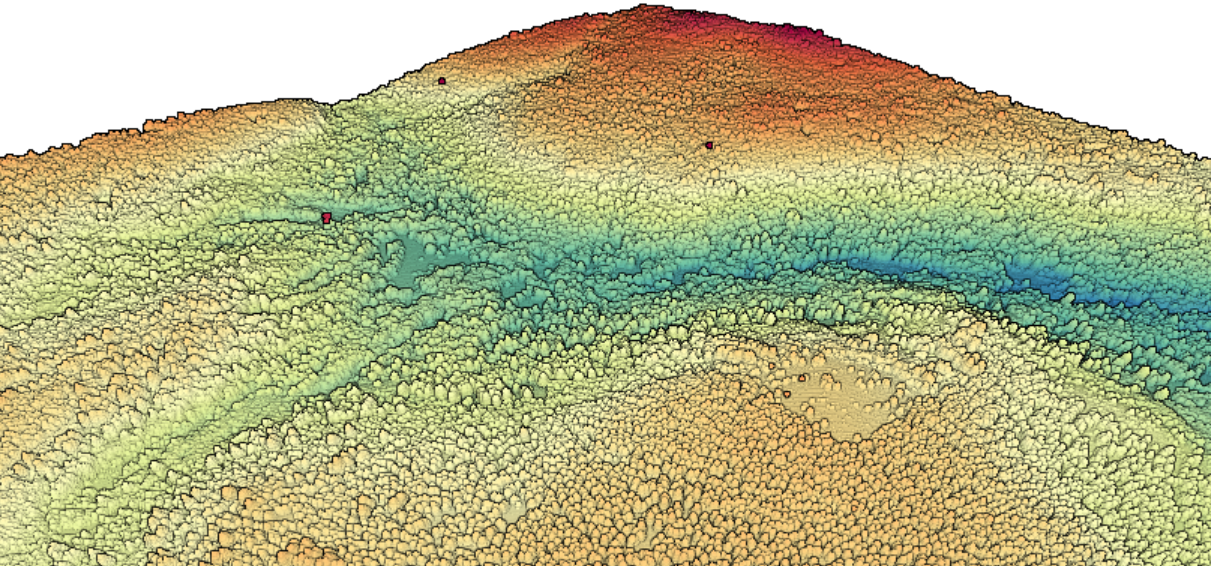
3D point cloud colored by elevation of area within Tahoe National Forest"

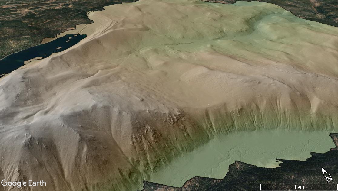
Digital Terrain Model (DTM) colored by elevation near Truckee, California draped over Google Earth imagery.

