New NCALM dataset in Nevada now available
Sep 28, 2022
A new lidar dataset covering 53 km2 over the McLeod Springs Wash in Nevada is now available on OpenTopography. This lidar dataset was collected by the National Center for Airborne Laser Mapping (NCALM) as part of the Seed grant program for Michael Hasson at Stanford University. This dataset was collected to help analyze morphodynamics of an unvegetated meandering river.
NCALM is an NSF-funded center that supports the use of airborne laser mapping technology (a.k.a. lidar) in the scientific community and is jointly operated by the Department of Civil & Environmental Engineering, Cullen College of Engineering, University of Houston and the Department of Earth and Planetary Science, University of California, Berkeley. OpenTopography is the primary distributor of NCALM data.
Find the data here:
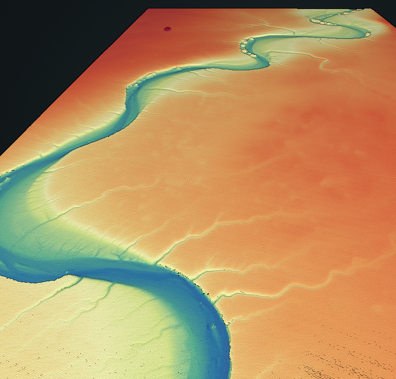
Point cloud colored by elevation of a river channel.
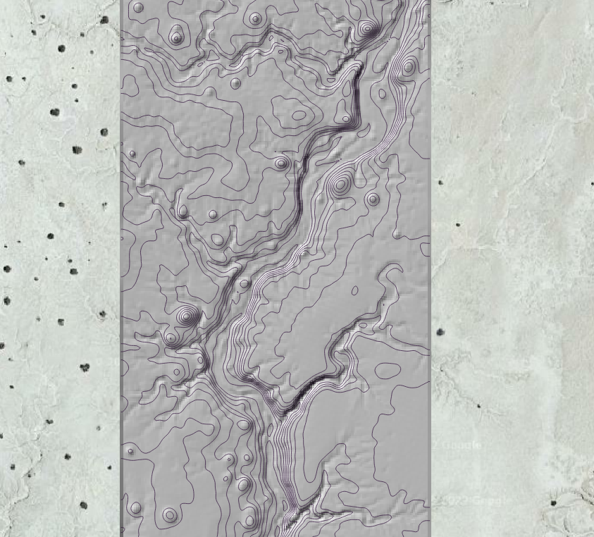
Contours overlaid on a hillshade of a Digital Terrain Model (DTM).