New NCALM dataset available in Southern California
OpenTopography is pleased to announce the release of a new lidar dataset covering approximately 143 km2 in the San Gabriel Mountains and 183 km2 in the San Jacinto Mountains. This dataset was collected by NCALM, an NSF-funded center that supports the use of airborne laser mapping technology (a.k.a. lidar) in the scientific community and is jointly operated by the Department of Civil & Environmental Engineering, Cullen College of Engineering, University of Houston and the Department of Earth and Planetary Science, University of California, Berkeley. This project was funded jointly by the Pennsylvania State University and the Georgia Institute of Technology. OpenTopography is the primary distributor of NCALM data.

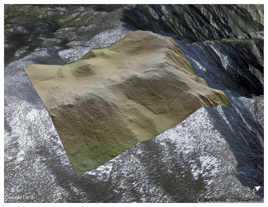
Digital Terrain Model (DTM) of San Jacinto Peak draped on Google Earth Imagery
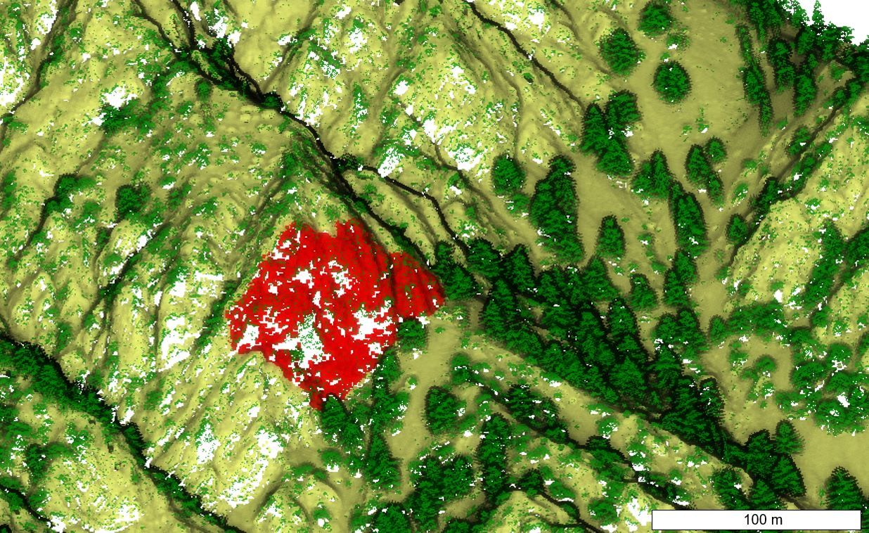
Classified point cloud values from Cucamonga Canyon. Areas of red show a cliff that was isolated for topographic analysis, while yellow points are ground, and green points are vegetation. Image Credit: Roman DiBiase, PSU.

