New LINZ Christchurch, Canterbury 2020-2021 dataset now available
A new lidar dataset covering approximately 523 km2 of Christchurch, Canterbury, New Zealand is now available on OpenTopography. The dataset was captured between December 2020 to February 2021 for the Christchurch City Council by Landpro Ltd., with data management and distribution by Toitū Te Whenua Land Information New Zealand. This high-density dataset (20.25 pts/m2) is the largest single survey of Christchurch to date and the most comprehensive and accurately publicly available lidar over Canterbury. Read more about the release of this dataset here and view the data in the Canterbury Maps 3D Viewer.
This dataset is available through an ongoing collaboration between OpenTopography and LINZ that makes OpenTopography the primary distribution platform for point cloud data collected as part of the LINZ national elevation program.
Find the new data here:
Overlapping previous data:
- Christchurch and Ashley River, Canterbury, New Zealand 2018-2019
- Christchurch and Selwyn, Canterbury, New Zealand 2015

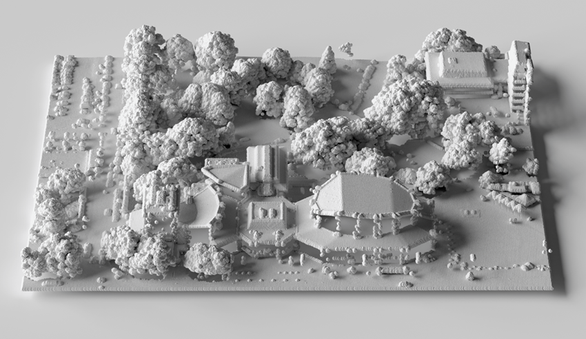
Visualization of Christchurch City Town Hall, generated using the Christchurch Elevation (lidar) High Density point cloud dataset. Credit: Toitū Te Whenua Land Information New Zealand

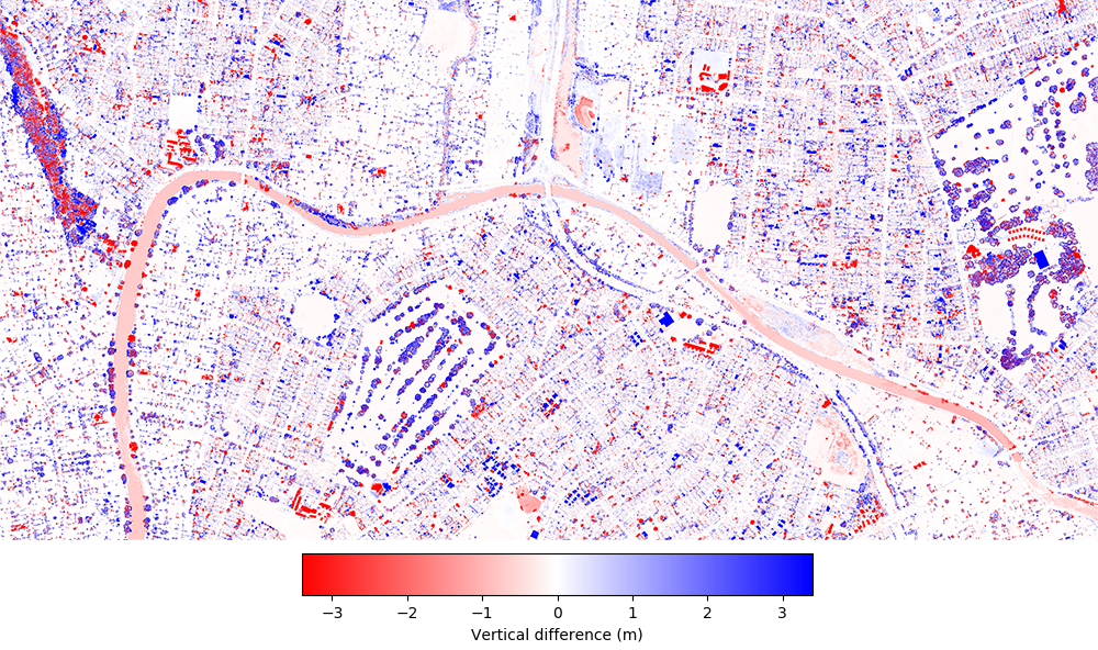
Topographic change over Christchurch and the Avon River / Ōtākaro. Difference calculated between 2015 and 2020-2021 LINZ lidar datasets. The image largely shows changes to vegetation and buildings.

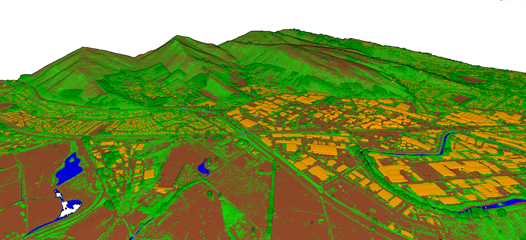
3D point cloud colored by return classification Christchurch, Canterbury, New Zealand (Brown=ground, green=vegetation, orange=buildings, blue=water).
