New lidar dataset over the Guadalupe Mountains, NM/TX
OpenTopography is pleased to announce the release of a new lidar dataset covering approximately 63 square km of the Guadalupe Mountains and the McKittrick Canyon Wilderness Study Area in New Mexico and Texas. The data were collected through an NCALM SEED grant to Alexander Neely (PSU) for the quantification of rock strength controls on landscape morphology. NCALM is an NSF-funded center that supports the use of airborne laser mapping technology (a.k.a. lidar) in the scientific community and is jointly operated by the Department of Civil & Environmental Engineering, Cullen College of Engineering, University of Houston and the Department of Earth and Planetary Science, University of California, Berkeley. OpenTopography is the primary distributor of NCALM data.

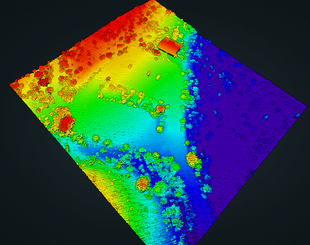
Lidar point cloud of the McKittrick Canyon Visitor Center, TX. Point cloud is colored by elevation

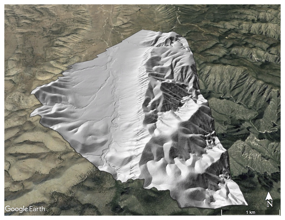
Hillshade of the digital terrain model (DTM) of the western region of the Guadalupe Mountains draped on Google Earth imagery.
