New lidar dataset covering San Andreas Fault near Parkfield, CA
OpenTopography is pleased to announce the release of a new lidar dataset covering approximately 28 km of the central San Andreas Fault near Parkfield, California. The data were collected as part of NCALM's seed grant program for Michael Vadman at Virginia Tech University. NCALM is an NSF-funded center that supports the use of airborne laser mapping technology (a.k.a. lidar) in the scientific community and is jointly operated by the Department of Civil & Environmental Engineering, Cullen College of Engineering, University of Houston and the Department of Earth and Planetary Science, University of California, Berkeley. OpenTopography is the primary distributor of NCALM data.
Get the data:
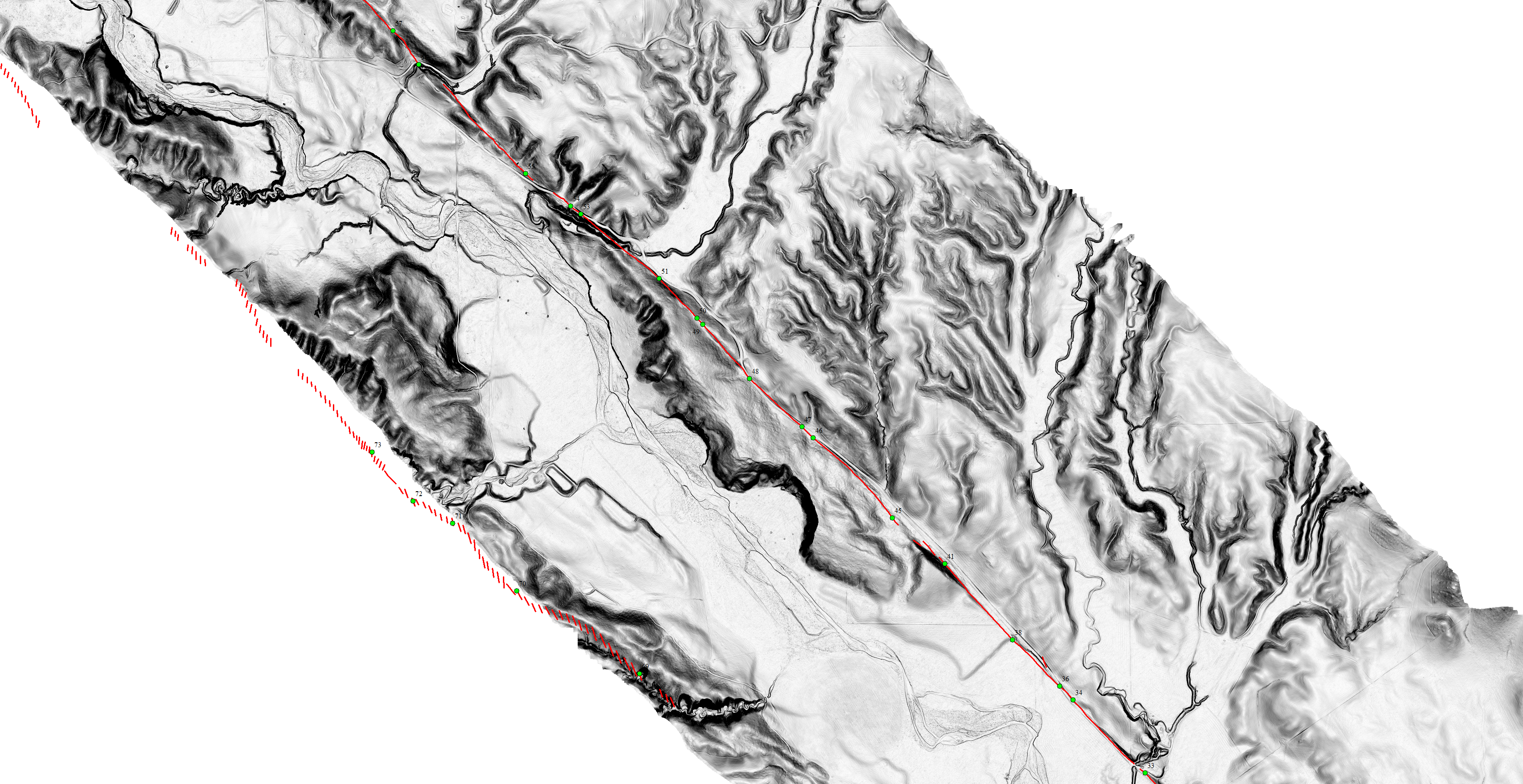
Mapping of Displacements Near Parkfield, California
BELOW: One meter slope shade of a lidar-derived digital terrain model just southeast of Parkfield, CA. Red line shows mapped (Lienkaemper and Brown, 1985) tectonic ground rupture associated with the 1966 Parkfield, California earthquake. Green dots are observation localities along the surface rupture where geologic data were gathered (click to view larger image). 1966 digital fault data from Crosby, 2004.

