New lidar dataset covering the Kaibab Plateau, AZ
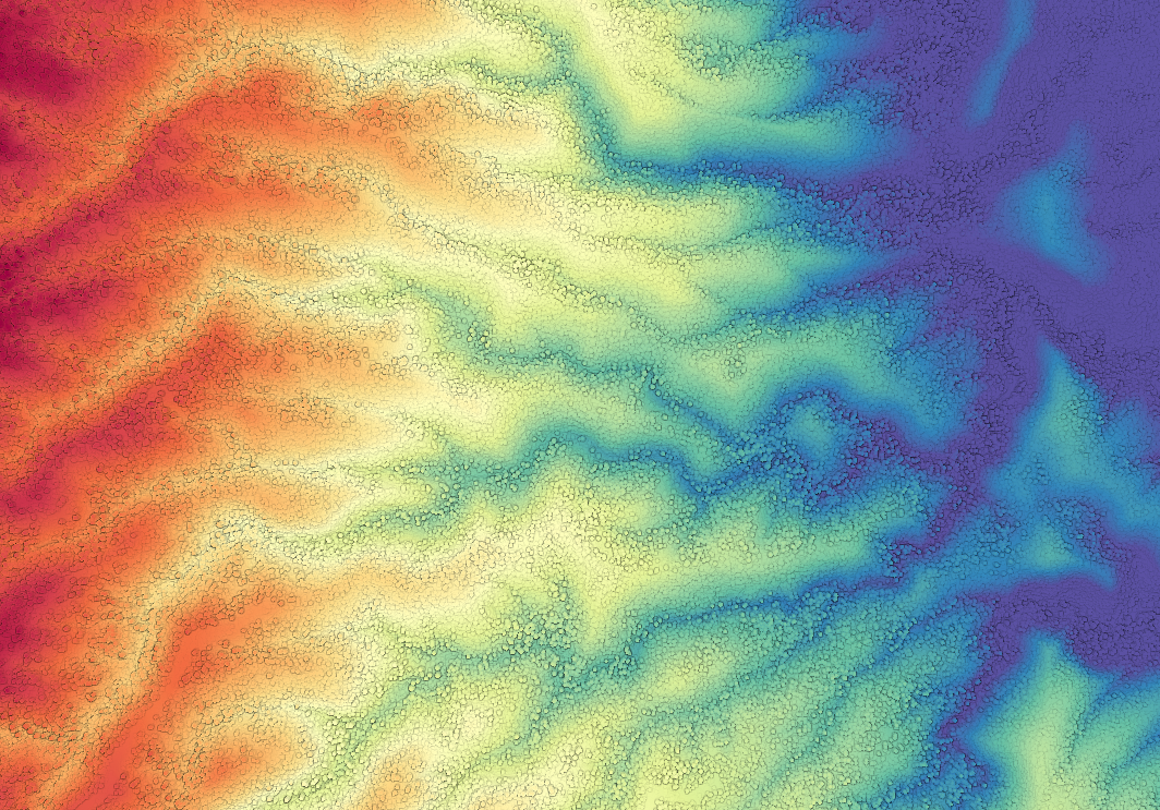
Thanks to a collaboration with the Kaibab National Forest (U.S. Forest Service), OpenTopography is pleased to announce the release of high-resolution topography and forestry dataset over the Kaibab Plateau in Arizona. The purpose of this acquisition was to provide lidar data for portions of the Kaibab National Forest and Grand Canyon National Park on the Kaibab Plateau, in support of ongoing studies of Northern Goshawk demographics. Data were collected in summer 2012 and cover over 1800 km2 of the plateau with an average point density of more the 15 pt/m2. Total dataset size is 28.8 billion points In addition, this dataset contains gridded products of both vegetation height and canopy height over the plateau.
Get the data:
Mapping the Kaibab Plateau, AZ

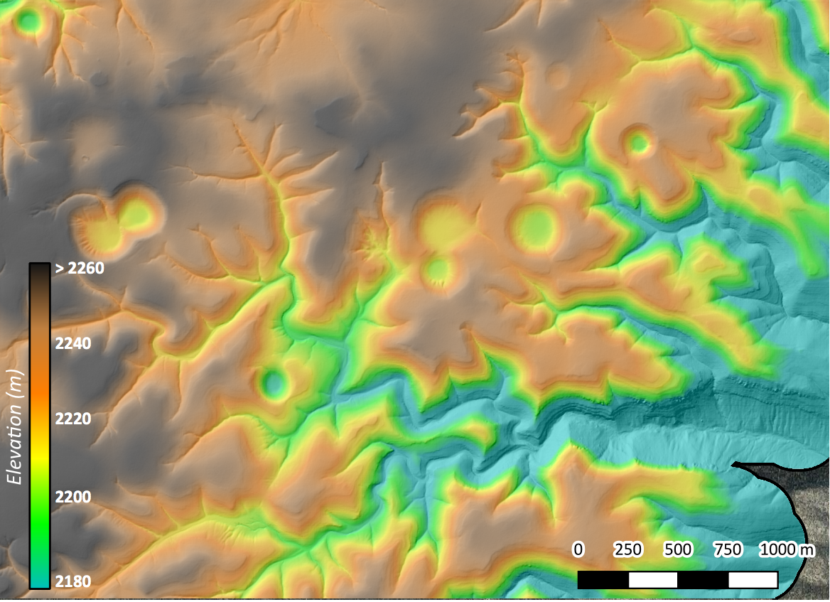
Lidar data gridded into a Digital Terrain Model (DTM) via OpenTopography covering the NE section of the Kaibab Plateau.

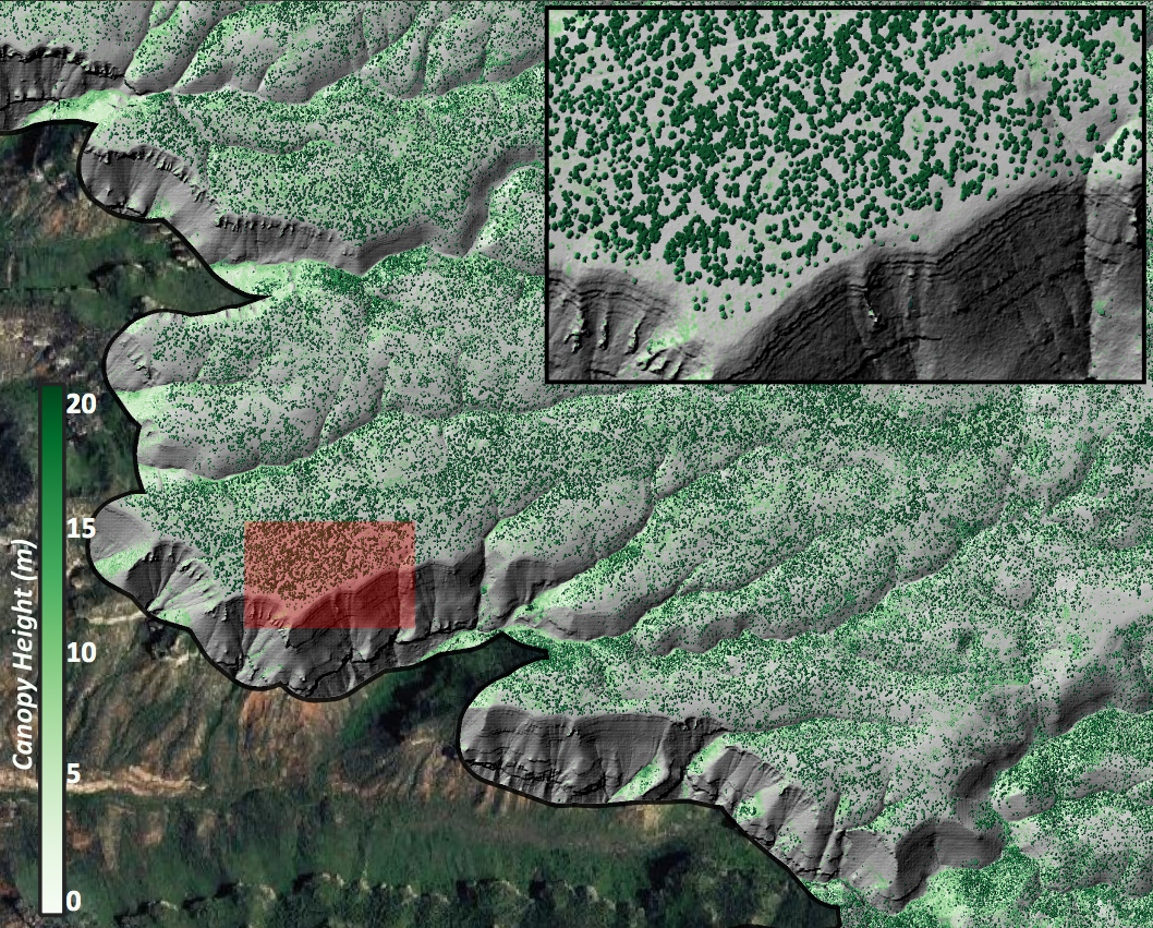
Map of vegetation height over the south western portion of the Kaibab Plateau. Area in red is displayed within the inset map.

