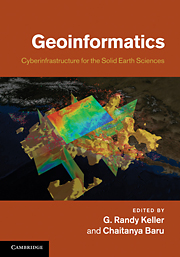
New Geoinformatics Book Includes Chapters on Early OpenTopography Work
A new Cambridge University Press book released this month highlights a wide range of research in the areas of Geoinformatics and Earth science Cyberinfrastructure. Geoinformatics, Cyberinfrastructure for the Solid Earth Sciences, G.R. Keller and C. Baru, editors, is focused on the topics of Earth science data collection and management; modeling and community computational codes; visualization and data representation; knowledge management and data integration; and web services and scientific workflows.

Two chapters in the book highlight early research, development, and production work that led to the current OpenTopography lidar data management system.
Chapter 16, Online access and processing of lidar topography data, (Christopher Crosby, J. Ramon Arrowsmith, Viswanath Nandigam and Chaitanya Baru), addresses the motivations, conceptual background, and implementation of the GEON Lidar Workflow, a system that was the predecessor to OpenTopography, and laid the foundation for much of the functionality our current system offers.
Chapter 15, Scientific workflows for the geosciences: an emerging approach to building integrated data analysis systems, (Ilkay Altintas, Daniel Crawl and Christopher Crosby), is focused on the Kepler scientific workflow application, and its use for Earth science data analysis. The GEON Lidar Workflow system is highlighted as one of two examples of a data analysis system built on top of Kepler.
Geoinformatics, Cyberinfrastructure for the Solid Earth Sciences is available for pre-order now, and will be released in June 2011.
More information in San Diego Supercomputer Center press release: SDSC Researchers Co-author, Co-edit New Book on Geoinformatics
