New data in AZ, NM, and WA from the U.S. Office of Surface Mining Reclamation and Enforcement
The U.S. Department of the Interior Office of Surface Mining Reclamation and Enforcement has provided access to lidar and aerial imagery over several mines throughout the US. The intended use of the data is to support the corresponding mine teams on current and future projects. Example use cases include: precise area and volumetric measurements, assisting with upcoming Termination of Jurisdictions and bond releases, change detection analysis, monitoring the progression and reclamation of mining, and visualizing 3D models.
Find the data here:
- Lidar Survey of the Kayenta Mine, AZ 2023
- Lidar Survey of the McKinley Mine, NM 2023
- Lidar Survey of the Centralia Mine, WA 2023
- Lidar Survey of John Henry Mine, WA 2023
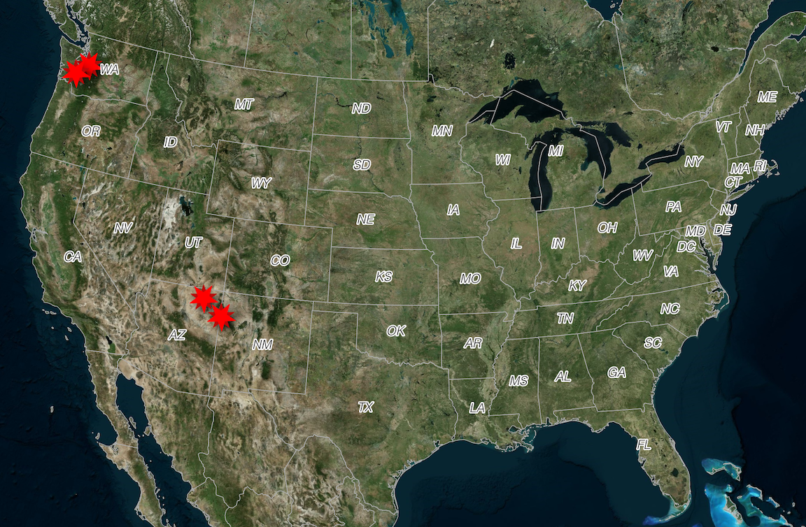
Location of OSMRE datasets in red.
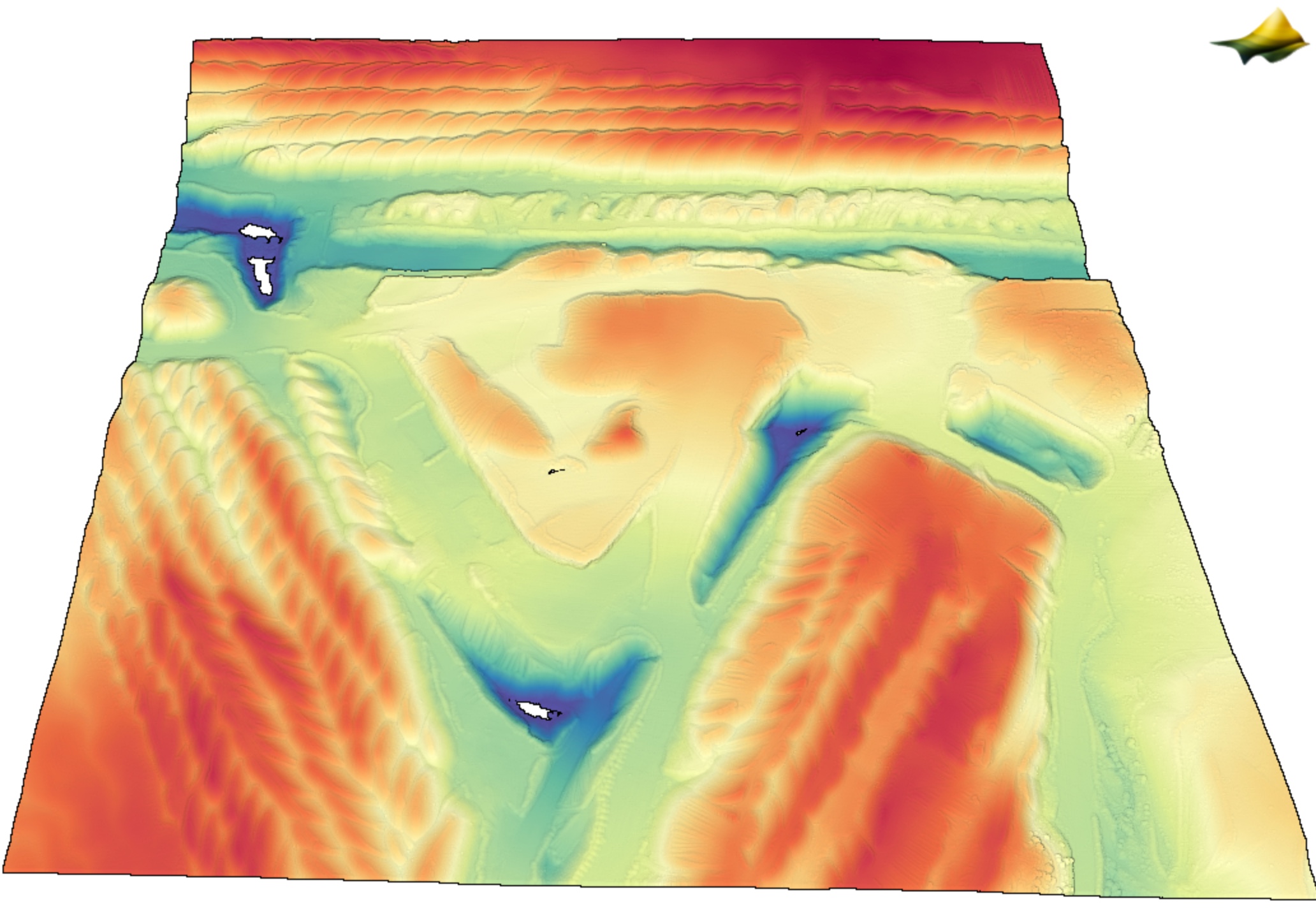
3D point cloud colored by elevation of the Kayenta Mine. Data Source: Lidar Survey of the Kayenta Mine, AZ 2023.
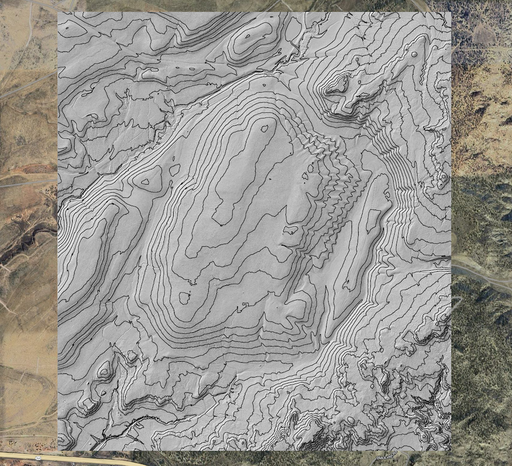
Hillshade with custom contours of the McKinley Mine. Data Source: Lidar Survey of the McKinley Mine, NM 2023
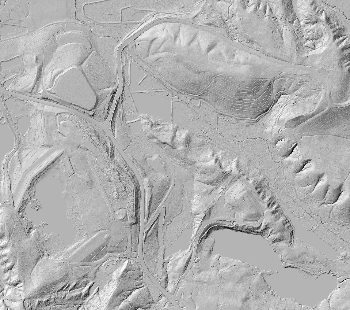
Hillshade of a portion of the Centralia Mine from the dataset: Lidar Survey of the Centralia Mine, WA 2023
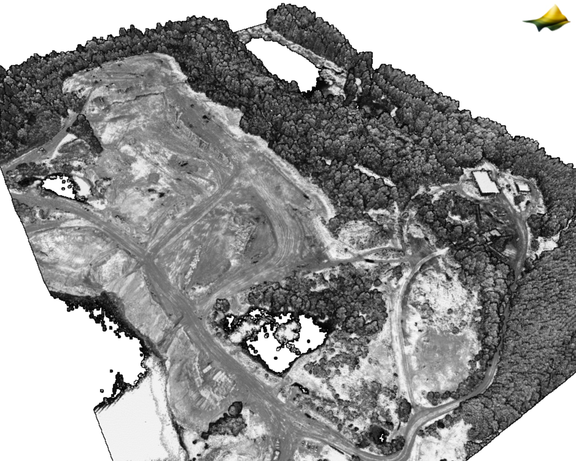
3D point cloud colored by intensity over a section of the John Henry Mine from the dataset: Lidar Survey of John Henry Mine, WA 2023
