New Bay of Plenty, Tasman Bay, and Coastal Otago New Zealand datasets
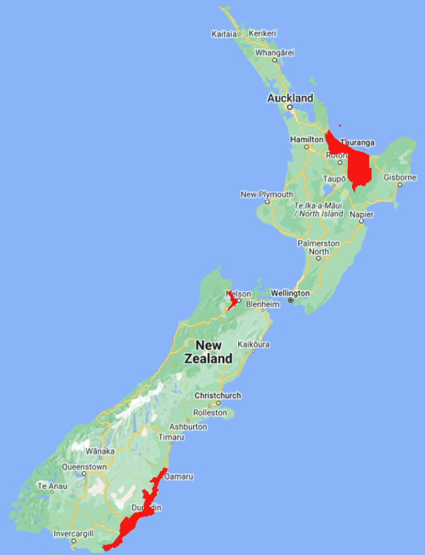
OpenTopography has recently added three new datasets over New Zealand that collectively cover almost 12,000 km 2. The datasets cover the Southeast coast and the Tasman and Nelson regions of the South Island, as well as the Bay of Plenty region of the North Island. These datasets are available through an ongoing collaboration between OpenTopography and LINZ that makes OpenTopography the primary distribution platform for point cloud data collected as part of the LINZ national elevation program.
Find the data here:
- Bay of Plenty, New Zealand 2020-2022 (updated with new data)
- Tasman Bay, Tasman, New Zealand 2022
- Coastal Catchments, Otago, New Zealand 2021 (updated with new data)

Spatial coverage of the three new LINZ datasets in red.

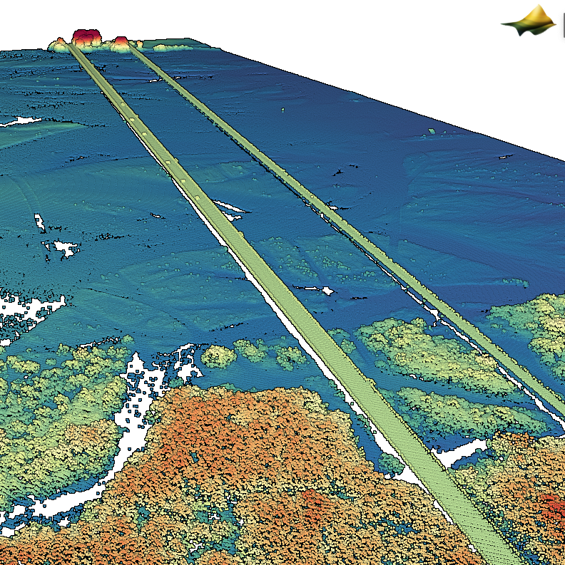
Point cloud colored by elevation of a bridge over the Waitaki River (Coastal Catchments, Otago, New Zealand 2021).

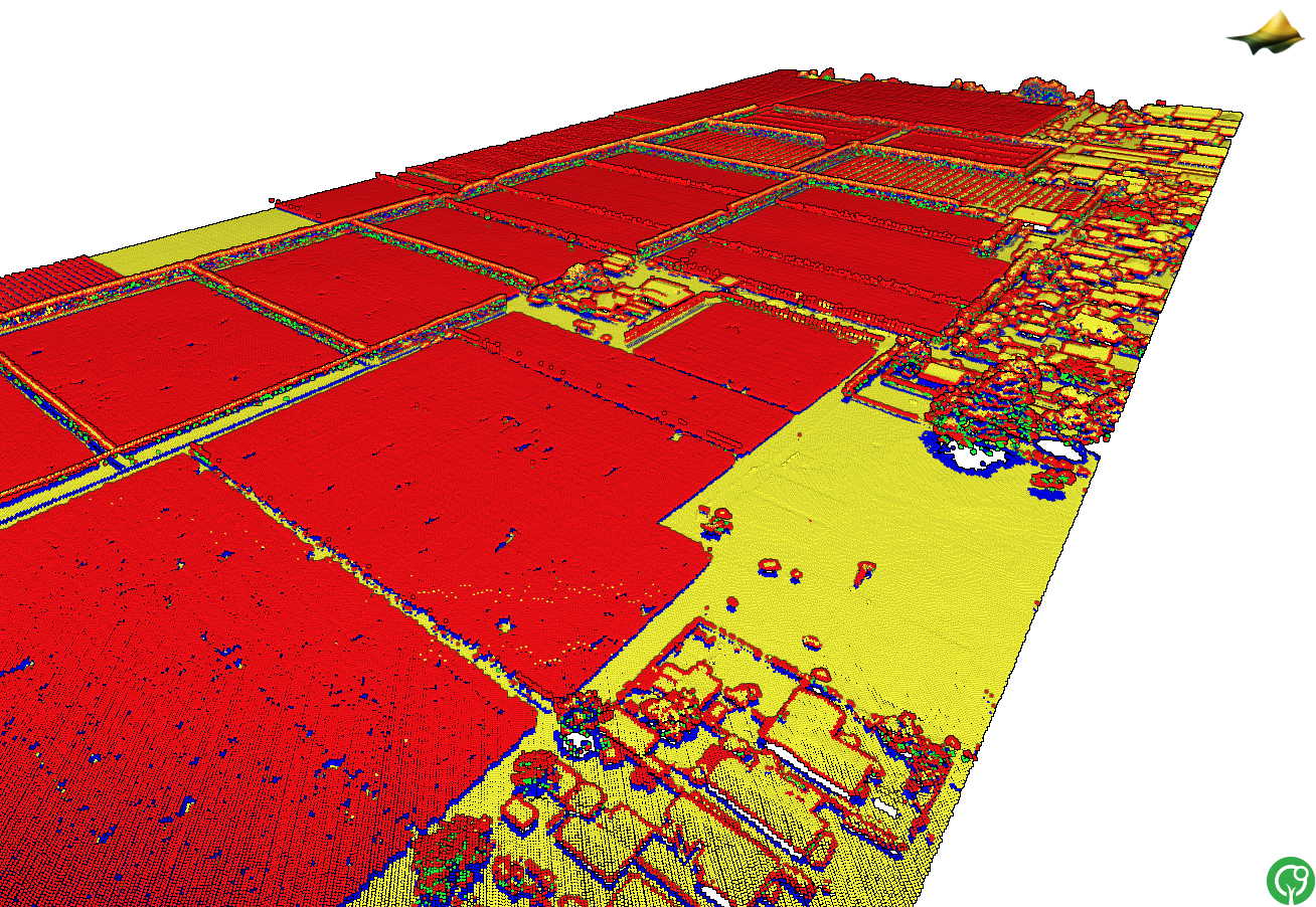
3D point cloud colored by lidar return number over a farm near Tasman Bay (Tasman Bay, Tasman, New Zealand 2022).

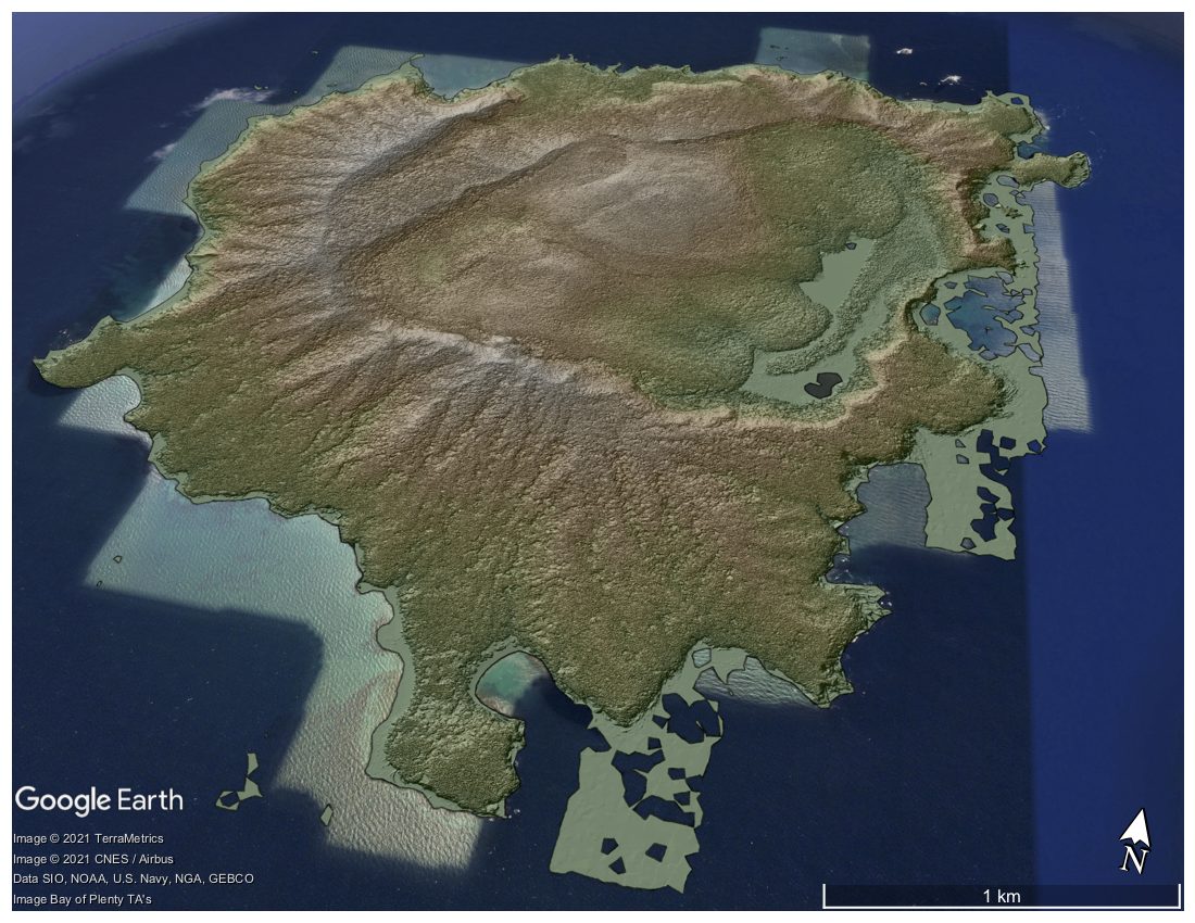
Digital Surface Model of Tuhua Island, NZ colored by elevation and draped on Google Earth Imagery (Bay of Plenty, New Zealand 2020-2022).
