New NCALM Datasets in Texas, Arkansas, and Idaho Now Available
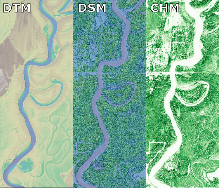
Three new NCALM (National Center for Airborne Laser Mapping) seed datasets covering portions of Texas, Arkansas, and Idaho are now available from OpenTopography. The dataset, Characterizing Alluvial Channel Bank Erosion with Lidar, TX 2023 was collected for Mariel Nelson at the University of Texas to help characterize alluvial channel bank erosion along the Trinity River near Houston, TX.
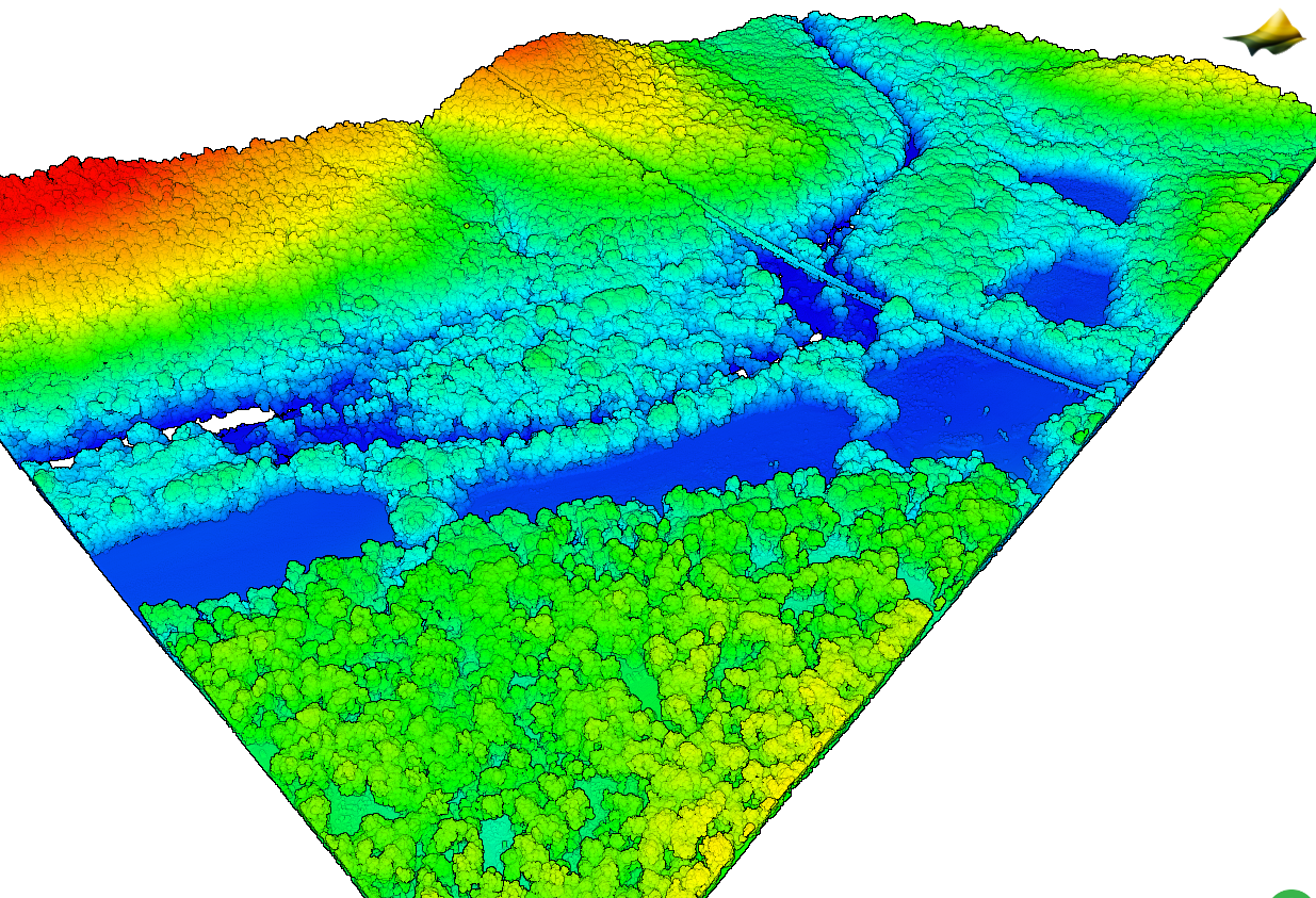
The dataset, Mapping Landscape Evolution in the Ozarks, AR 2023 was collected for Chelsea Moran at the University of Arkansas to help understand the spatial and temporal distribution of large rock blocks and their control on landscape evolution in the Ozarks.
The dataset, Measuring Hydrologic and Biogeochemical Processes in an Intermittent Stream, ID 2023 was collected for Michelle Sclafani at Idaho State University to evaluate the role of hillslope topography, channel morphology, and riparian vegetation density canopy cover in patterning of longitudinal stream wetting and biogeochemical processing in an intermittent stream near Johnston Draw, Idaho.
NCALM is an NSF-funded center that supports the use of airborne laser mapping technology (a.k.a. lidar) in the scientific community and is jointly operated by the Department of Civil & Environmental Engineering, Cullen College of Engineering, University of Houston and the Department of Earth and Planetary Science, University of California, Berkeley. OpenTopography is the primary distributor of NCALM data.
Find the data here:
- Characterizing Alluvial Channel Bank Erosion with Lidar, TX 2023
- Mapping Landscape Evolution in the Ozarks, AR 2023
- Measuring Hydrologic and Biogeochemical Processes in an Intermittent Stream, ID 2023

Panel of Digital Terrain Model (DTM), Digital Surface Model (DSM), and Canopy Height Model (CHM) datasets over a section of the Trinity River. (Dataset: Characterizing Alluvial Channel Bank Erosion with Lidar, TX 2023).

3D point cloud colored by elevation over the Buffalo River in Arkansas.. (Dataset: Mapping Landscape Evolution in the Ozarks, AR 2023).
