LINZ dataset covering Nelson, New Zealand Now Available
A new lidar dataset covering approximately 475 km2 over Nelson, New Zealand is now available on OpenTopography. This dataset has an average point density of 37.67 pts/m2, allowing for exceptionally high-resolution, dense point clouds. The survey area includes Nelson City, Hira, Cable Bay, Whangamoa, and the surrounding area. The lidar was captured for the Nelson City Council by Aerial Surveys, with data management and distribution by Toitū Te Whenua Land Information New Zealand (LINZ). This dataset is available through an ongoing collaboration between OpenTopography and LINZ that makes OpenTopography the primary distribution platform for point cloud data collected as part of the LINZ national elevation program.
Find the data here:

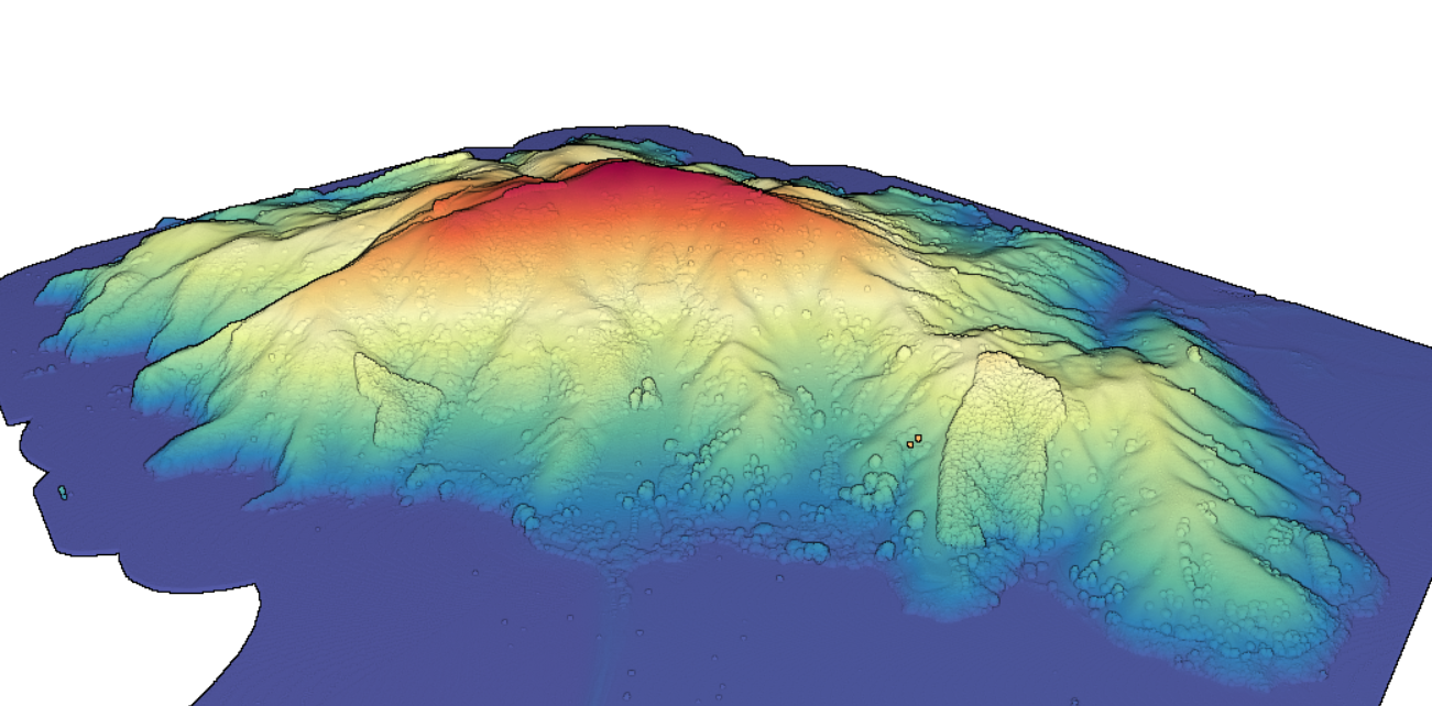
3D point cloud colored by elevation of Pepin Island off the coast of Nelson, NZ.

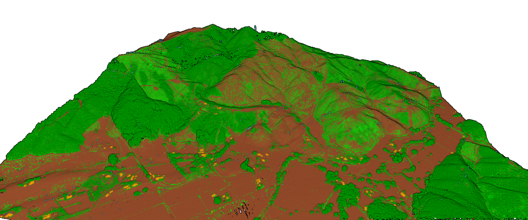
3D point cloud colored by return classification of Nelson, NZ. (Brown=ground, green=vegetation, orange=buildings). Notice the dense coverage of the point cloud and clarity of vegetation cover.
