Lidar point cloud data available for Whangarei Heads, Northland, New Zealand 2016
OpenTopography is pleased to announce the release of a new lidar dataset covering about 65 km2 within New Zealand's North Island. Data were collected in November 2016, and the survey area includes the northern coastline of Whangarei Harbour. This dataset is available through on ongoing collaboration between OpenTopography and Land Information New Zealand (LINZ), that makes OpenTopography the primary distribution platform for point cloud data collected as part of the LINZ national elevation program.
Get the data:
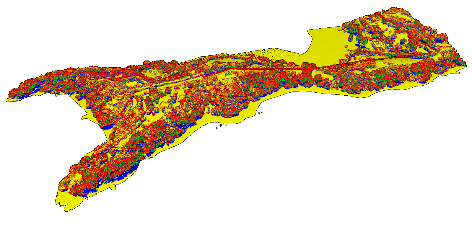
 Coastline near The Nook in Parua Bay. Lidar data colored by return number. Orange points are first returns, and blue points are last returns. Note the last returns under the canopy.
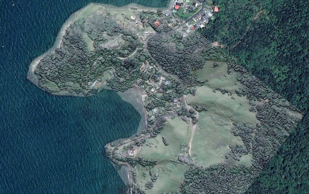
 Hillshade of elevation data draped on imagery over the McKenzie Bay region.
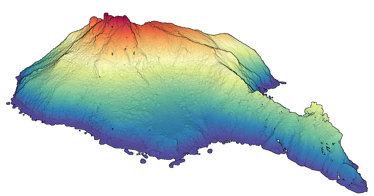
 Lidar point cloud over Bream Head Scenic Reserve. Lidar points are colored by elevation.
