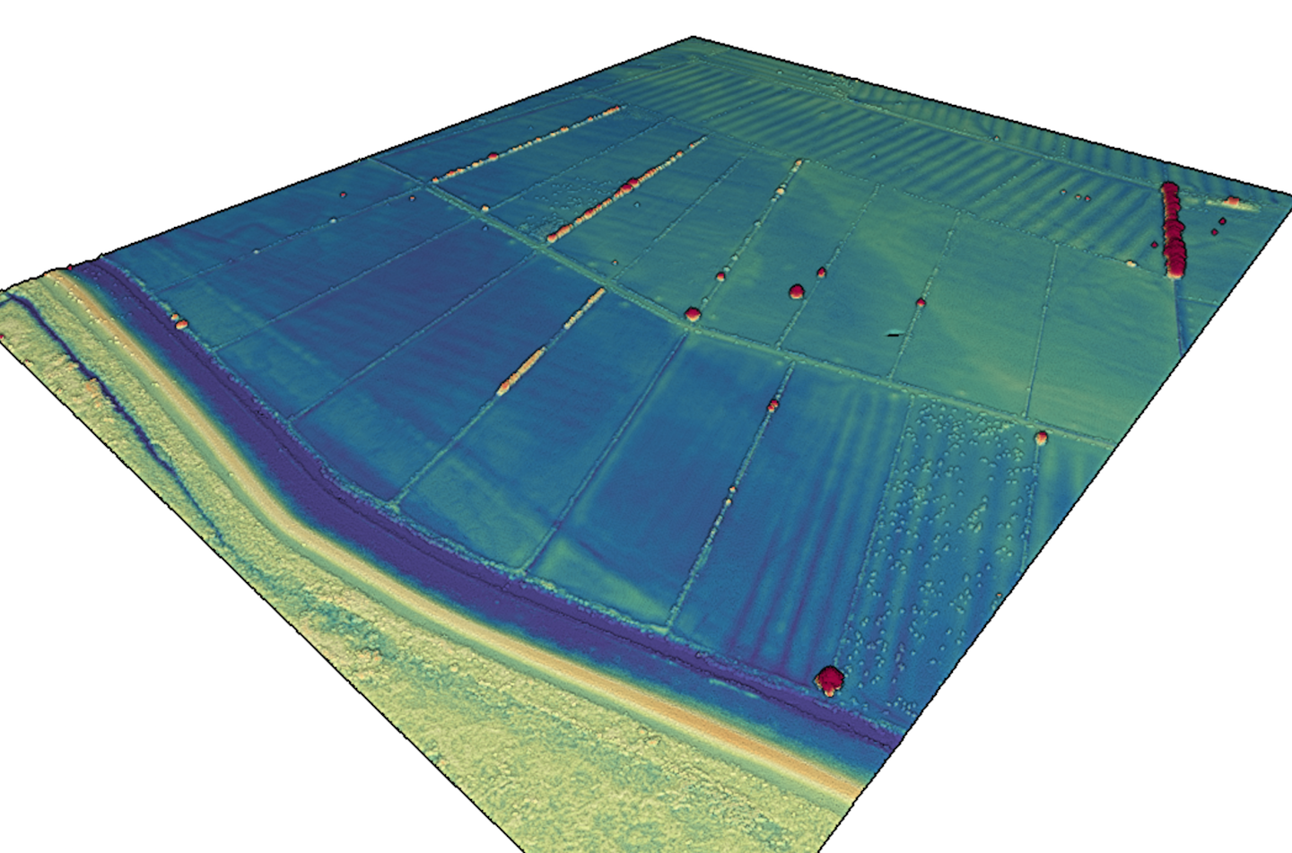
Lidar point cloud data available for Thames, Waikato, New Zealand 2017
Nov 15, 2019
OpenTopography is pleased to announce the release of a new lidar dataset covering about 145 km2 within New Zealand's North Island. Data were collected between February 2017 and April 2019, and the survey area includes the Thames Township and the surrounding area. This dataset is available through on ongoing collaboration between OpenTopography and Land Information New Zealand (LINZ), that makes OpenTopography the primary distribution platform for point cloud data collected as part of the LINZ national elevation program.
Get the data:
 Lidar data colored by elevation. Farm animals can be seen in pastures in lower right and upper left fields.
