Lidar point cloud data available for Reporoa and Upper Piako River, Waikato, New Zealand 2019
Nov 14, 2019
OpenTopography is pleased to announce the release of a new lidar dataset covering about 485 km2 within New Zealand's North Island. Data were collected in April 2019, and the survey area includes Reporoa Township and the surrounding area as well as the Upper Piako River catchment. This dataset is available through on ongoing collaboration between OpenTopography and Land Information New Zealand (LINZ), that makes OpenTopography the primary distribution platform for point cloud data collected as part of the LINZ national elevation program.
Get the data:
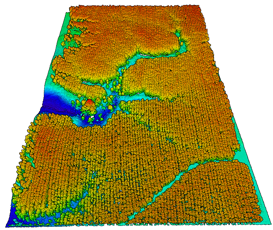
 Lidar data colored by elevation of a uniformly planted forest.
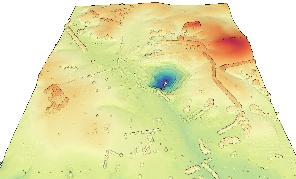
 Digital Terrain Model (DTM) colored by elevation showing a mine that is approximately 80 meters deep.
