Klamath River Renewal Project data access through OpenTopography
The Klamath River Renewal project is a collaborative, multi-agency project that aims to restore the health of the Klamath River in southern Oregon and northern California through the the removal of four hydroelectric dams. Lidar, sonar, and photogrammetry data have been collected along the river to provide a baseline dataset of topography and hydrology of the river before the dams are removed. Once the dams are removed, a second data collection will occur to help monitor changes in ecology, hydrology, and geomorphology along the river.
Get the data:

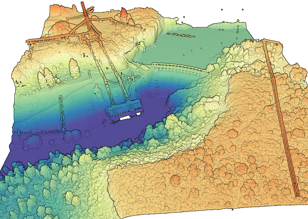
3D point cloud of a dam along the Klamath River with points colored by elevation
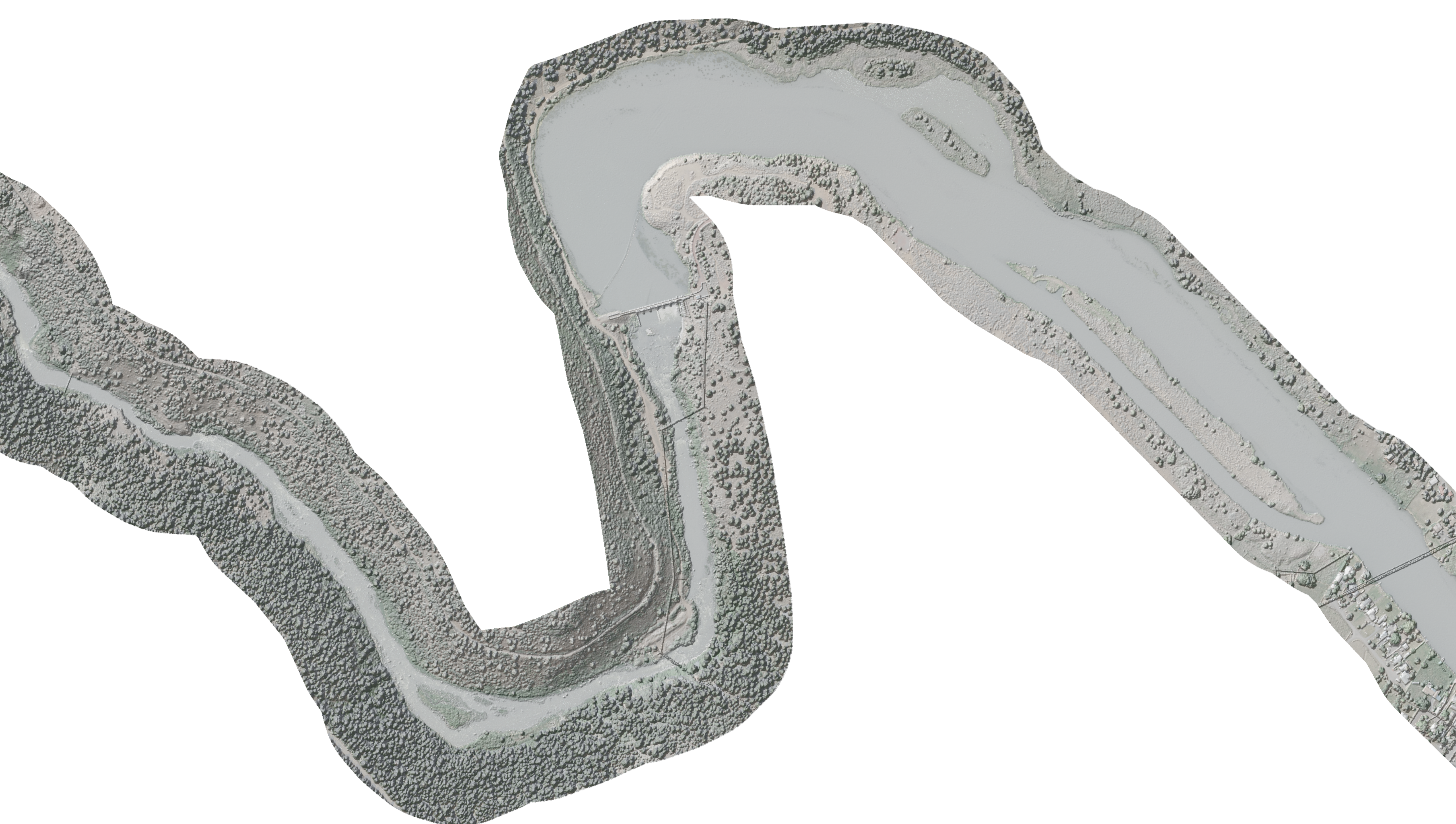
 Hillshade of the Digital Surface Model (DSM) draped on the orthophoto imagery for a section of the Klamath River.
