Gisborne and Hamilton, Waikato, New Zealand lidar datasets available
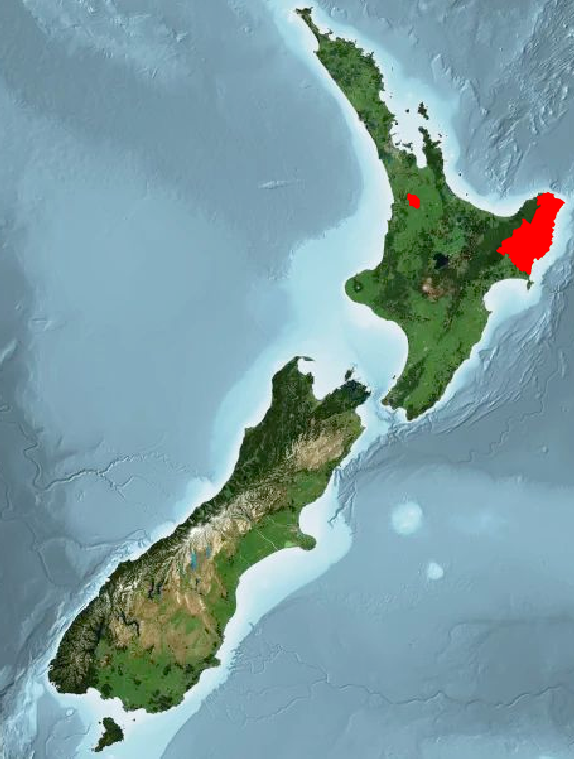
New Land Information New Zealand (LINZ) datasets are now available through OpenTopography. These datasets are available through an ongoing collaboration between OpenTopography and LINZ as part of the LINZ National Elevation Program. These datasets collectively add roughly 5,000 km2 of high resolution topographic data over the North Island of New Zealand (see areas in red on map below).
Find the data here:

Spatial coverage of new LINZ datasets highlighted in red.

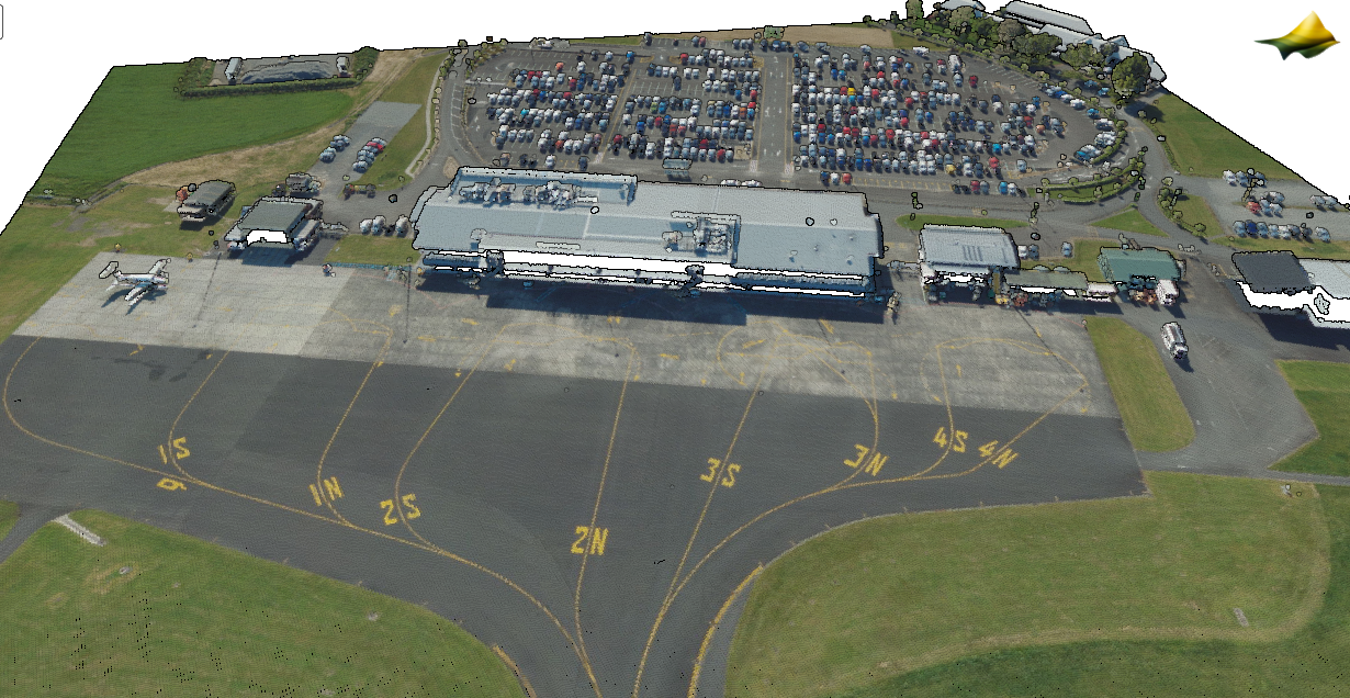
3D point cloud colored by aerial imagery RGB values of the Hamilton, New Zealand airport (HLZ). (Data from: Hamilton, Waikato, New Zealand 2023)

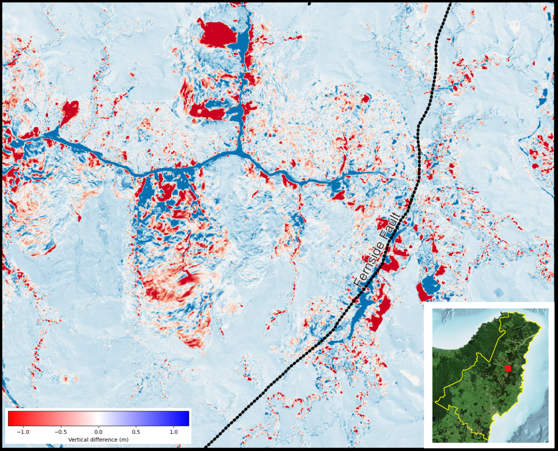
Difference map between the ground surface in Gisborne, New Zealand 2023 and Gisborne, New Zealand 2018-2020 near the Fernside Fault. Differences range from -1 m (dark red ) to +1m (dark blue). Note the large landslide / mass movement events in the upper part of the image.
