Garlock Fault Point Cloud LiDAR Now Available
Aug 4, 2009
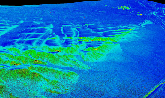
We are pleased to announce the availability of LiDAR point cloud data from the Garlock fault portion of the GeoEarthScope Southern & Eastern California project. With this release, Garlock data can now be downloaded via OpenTopography as point clouds and custom digital elevation models (DEMs), Google Earth hillshade overlays, and as standard tiled DEMs.

Slope map for portion of the Garlock fault (near town of Garlock, CA) derived from LiDAR point cloud data
Additional GeoEarthScope Southern & Eastern California LiDAR data will be released in the coming weeks.
