Digital Surface Model of Ridgecrest, CA: Pre-July 2019 Earthquakes
OpenTopography is pleased to announce the release of digital surface model (DSM) that is a mosaic of 2 meter resolution stereogrammetric DSMs acquired prior to the July 2019 Ridgecrest, California earthquake sequence. This dataset covers over 10,000 km 2 of the region surrounding the recent earthquakes, and provides a unique opportunity for research of this event. This is a pre-release of a larger data set of California (CaliDEM) that will be fully submitted to OpenTopography at a later date.
Citation:
Willis, MJ; Barnhart, WD; Cassotto, R; Klassen, J; Corcoran, J; Host, T; Huberty, B., Pelletier, K., Knight, J.F. CaliDEM: Ridgecrest, CA Region 2m Digital Surface Elevation Model. Funding by NSF and USGS. Data collection by DigitalGlobe. Distributed by OpenTopography. https://doi.org/10.5069/G998854C
Get the data:
Download Google Earth KMZ Files that cover the regions affected by the recent earthquakes:

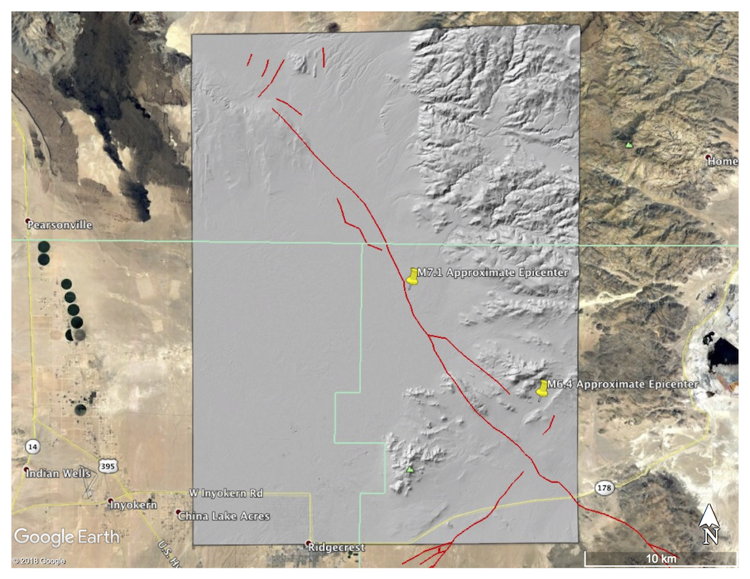
Subset of the Digital Surface Model (DSM) as a hillshade over the approximate location of the M6.4 and M7.1 earthquakes that occurred on July 4th and 6th 2019, respectively.
Preliminary Ridgecrest earthquake surface ruptures (in red) compiled by Mike Oskin (UC Davis)

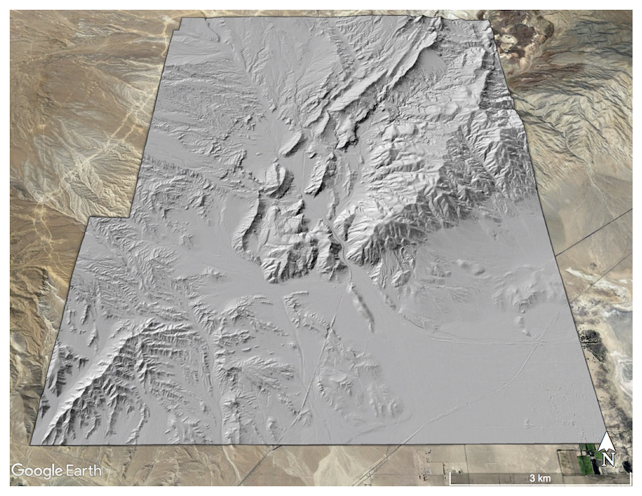
Subset of the Digital Surface Model (DSM) as a hillshade over Red Rock Canyon State Park, CA.
