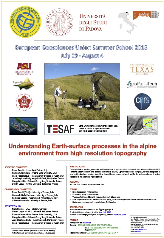
Understanding Earth-surface processes in the alpine environment from high resolution topography
OpenTopography is a co-sponsor of a 2013 European Geosciences Union Summer School program on: "Understanding Earth-surface processes in the alpine environment from high resolution topography". The course will be taught July 29 to August 4th, 2013 in Italian Dolomites.
Ramon Arrowsmith (ASU) - a Co-Investigator on OpenTopography - is on the summer school scientific committee and will be presenting a keynote talk during the course.
Aims and Scope:
Training in field acquisition, processing and interpretation of high resolution topographic data with ground-based (GPS, Terrestrial Laser Scanner) and airborne instruments (LiDAR, Light Detection and Ranging), for the recognition of geomorphic signatures (erosion, landslides, channel heads, channel network) and for the understanding earth-surface processes in the Dolomites-Alpine context.
Audience: PhD and MSc students in Earth Science field
Format:
- Keynote speakers in the morning
- PC working group in the afternoon
- Two days field expedition with instruments in high altitude area
- Final project work with 30' presentation each group; the results will presented at EGU General Assembly 2014.
- Diploma ceremony during the social dinner, 3rd July night
Additional details on the course:
- Course Brochure (PDF)
- Course Poster (PDF)

