Tahoe Standard DEM Data
The final piece of the Lake Tahoe Lidar dataset - standard digital elevation model (DEM) and intensity rasters - are now available for download from the OpenTopography standard DEM page. These products, produced by Watershed Sciences, the vendor who performed the Tahoe data collection, consist of three separate data layers all at 0.5 meter resolution in the ERDAS Imagine (.IMG) format:
- 1. Highest hit DEM
2. Hydro enforced bare earth DEM
3. 8-bit intensity raster
We've packaged the data based on the USGS quarter quadrangle (3.75 minute) naming conventions used by Watershed Sciences (Tile index file in shapefile format). Thus, each quarter quad .zip file contains the three grid data products noted above. For example:
- 39120A22.zip corresponds to USGS quarter quad 39120A22 and contains the following three grid products stored in sub-directories:
- hh_39120A22 (highest hit)
- he_39120A22 (hydro enforced bare earth)
- int_39120A22 (intensity grids)
There are 55 quarter quads worth of data in the Lake Tahoe dataset, for a total of ~17 GB of data (zipped). The OpenTopography standard DEM download interface uses a Java applet to automate the download. These are large data files so patience and bandwidth are required.
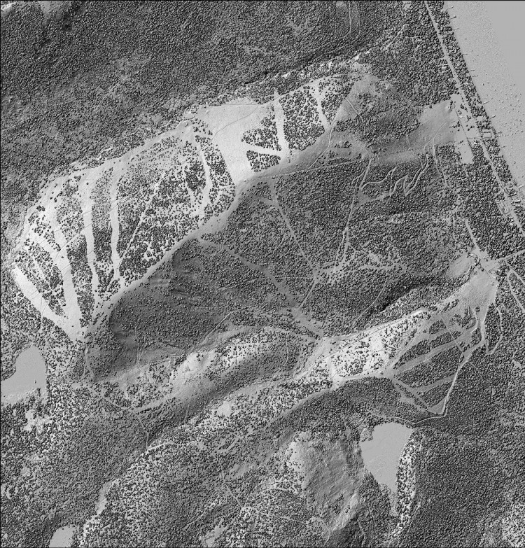
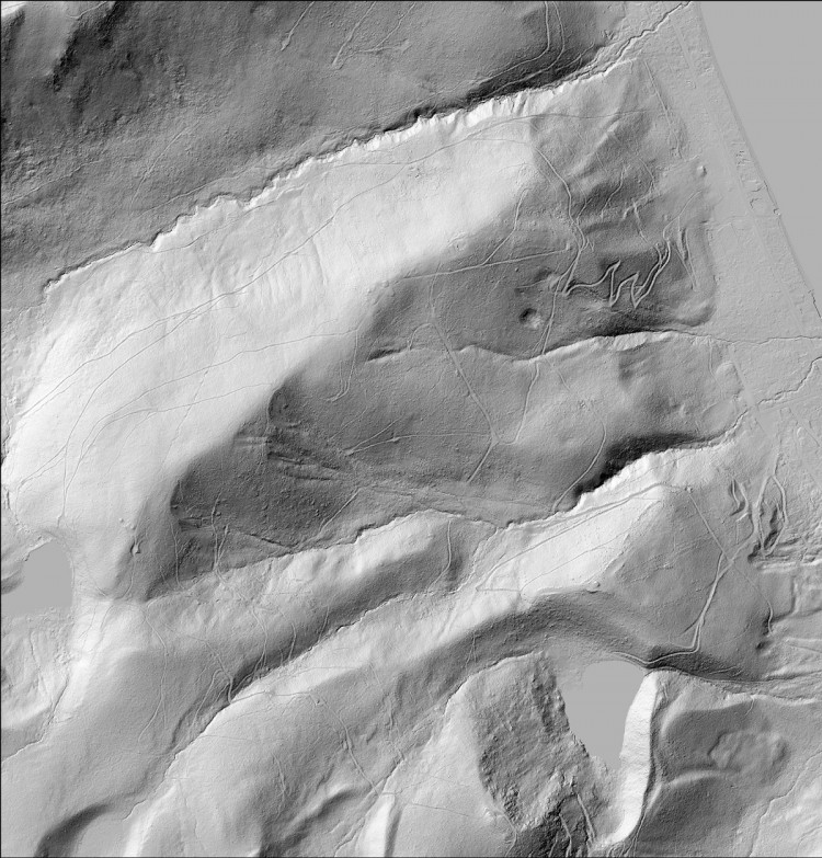
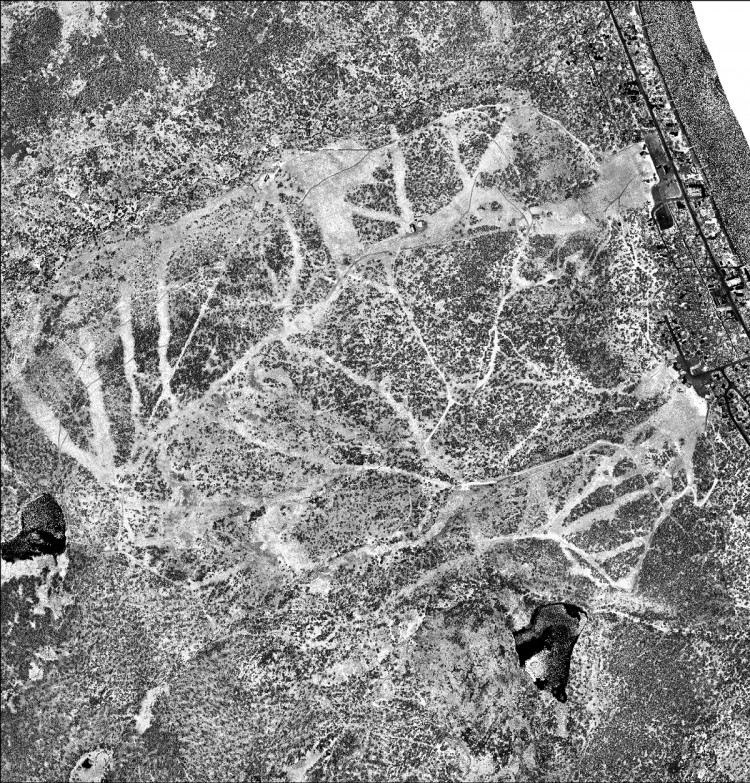
Examples images derived from the products contained in 39120A22.zip (the quarter quad that corresponds to the Homewood Mountain Ski Area):

Hillshade of highest hit DEM

Hillshade of hydro-enforced bare earth DEM

Intensity raster
