LINZ tutorial: Creating point cloud visualizations with OpenTopography
Oct 16, 2018
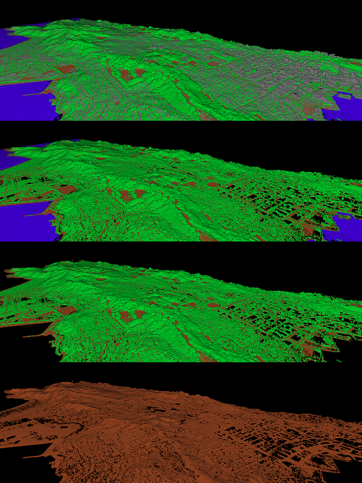
OpenTopography is collaborating with Land Information New Zealand to make 3D point cloud lidar data in New Zealand available for download, processing, and visualization. LIdar-derived DEM and DSM raster products are available for download via the LINZ Data Service. Today, LINZ published a very nice tutorial on how to use OpenTopography tools to produce a 3D, interactive, browser-based point cloud visualisation.
For the full tutorial please visit this post:
Creating point cloud visualisations with OpenTopography
 (image credit = LINZ Data Service)
