People
Leadership:
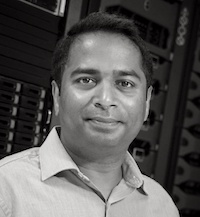 Viswanath Nandigam
PI; Director of CyberInfrastructure
SDSC, UC San Diego
vnandigam@ucsd.edu
Vishu Nandigam is the project PI and chief software architect for the OpenTopography Facility. He is the director of the Advanced CyberInfrastructure Development lab at the San Diego Supercomputer Center at UCSD where he works on several data intensive cyberInfrastructure projects. He is a co-founder and has been involved with the development of OpenTopography since its inception. His research interests include scientific data acquisition and management, data intensive application development, parallel and federated database systems and information integration.
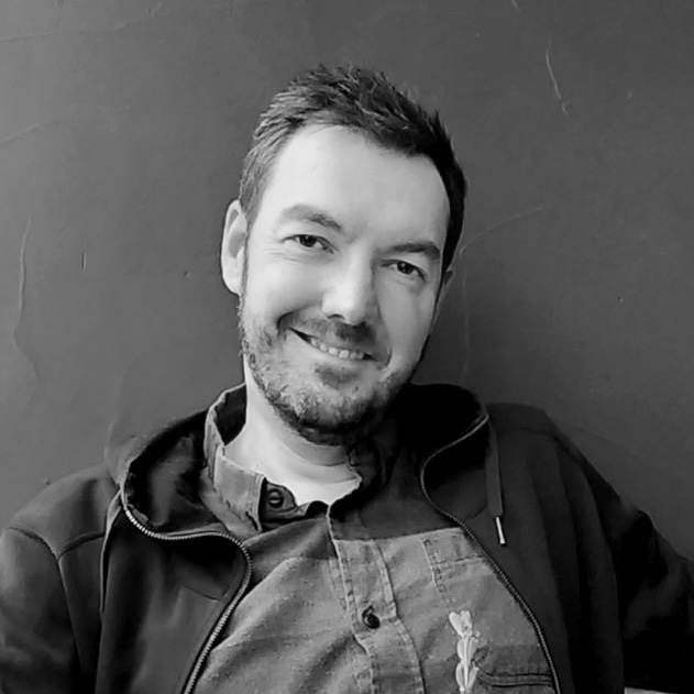 Christopher Crosby
Co-PI; Director of Operations and Strategy
EarthScope Consortium
chris.crosby@earthscope.org
Chris Crosby manages day-to-day operations of the OpenTopography Facility. Trained as a geologist, he has worked on paleoseismology, earthquake geology, and active tectonics research in the western US, Caribbean, and Central Asia. He is interested in utilization of cyberinfrastructure to manage and improve access to earth science data and processing tools. Chris is an expert in the management, distribution, processing, and application of high-resolution topography acquired via lidar and has guided the development of OpenTopography since its inception. In addition to his work on OpenTopography, Chris also manages Geodetic Imaging (Terrestrial Laser Scanning (TLS), photogrammetry, and Synthetic Aperture Radar (SAR)) at the EarthScope Consortium.
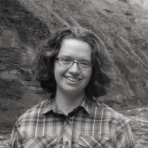 Chelsea Scott
Co-PI; Director of Remote Sensing and Community Outreach
ASU
cpscott1@asu.edu
Chelsea Scott serves an Assistant Research Professor at Arizona State University. She conducts research in active tectonics, geophysics, and structural geology with study areas in the western US, Japan and South America. She is particularly interested in developing topographic differencing techniques to image near-fault surface deformation. Scott earned her Ph.D. from Cornell University where her doctoral research focused on using Synthetic Aperture Radar (SAR) imagery to constrain coseismic surface deformation.
 J Ramon Arrowsmith
Co-PI; Director of Science and Governance
ASU
ramon.arrowsmith@asu.edu
Ramon Arrowsmith is a Professor of Geology at Arizona State University, and conducts research in active tectonics, quantitative structural geology, and geomorphology. These include paleoseismology, earthquake geology, theoretical studies of faulting and hillslope development, and Quaternary Geology and desert surface processes. Active areas of geographic concentration include the San Andreas Fault system, Arizona, central Asia, Xinjiang China, Baja California, and the Afar region of Ethiopia (for the geologic context of paleoanthropologic studies). He was an original PI on the GEON project and pushed early prototype development of the GEON Lidar Workflow, the predecessor to OpenTopography.
Staff:
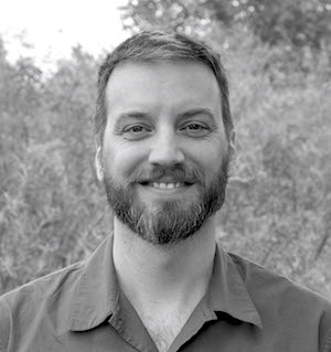 Matt Beckley
Data Engineer
EarthScope Consortium
matt.beckley@earthscope.org
Matt Beckley is a data engineer with OpenTopography who assists with data ingestion, scripting, and overall user support. He has a background in geology and GIS, and has extensive experience in programming, data analysis, and data management. Matt was previously at the NASA Goddard Space Flight Center working with satellite and high altitude lidar missions. As part of his time at NASA he helped manage flight planning, weather prediction, and data analysis for airborne lidar missions over the Arctic and Antarctic.
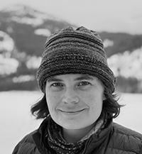 Cassandra Brigham
Postdoctoral Researcher
Arizona State University
cabrigha@asu.edu
Cassandra Brigham is a postdoctoral researcher at Arizona State University and works on developing advanced data processing tools for OpenTopography. Her research focuses on assessing error in topographic change results, using supervised and unsupervised machine learning techniques to extract geomorphic features and map surface deposits, and adapting transformer models to geomorphic applications. She earned her Ph.D. from the University of Washington.
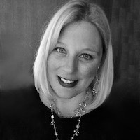 Kate Kaya
Cloud Specialist
SDSC, UC San Diego
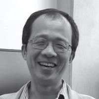 Kai Lin
Senior Research Programmer
SDSC, UC San Diego
Dr. Lin is a researcher in the advanced cyberinfrastructure development group at the San Diego Supercomputer Center. He has a Ph.D. in Computer Science from the University of California, San Diego. Dr. Lin’s current research interests include databases, data management, cyberinfrastructure, geoinformatics, and software engineering.
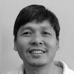 Minh Phan
Software Developer
SDSC, UC San Diego
Minh Phan is a software developer for the OpenTopography Project. Minh specializes in web and database related development, and is also interested in software engineering. He has been involved in several Cyberinfrastructure projects including Webshaker (2000-2002), Health Monitoring of Highway Bridges and Civil Infrastructure (2002-2007), NEESit: Network Earthquake Engineering Simulation Cyber Infrastructure (2007-2010).
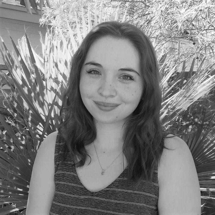
Science Communication Associate
EarthScope Consortium
emily.zawacki@earthscope.org
Emily Zawacki is a Science Communication Associate at EarthScope Consortium working for OpenTopography on communications, education, and outreach activities. Zawacki earned her M.S. and Ph.D. in Geological Sciences from Arizona State University.
Past Team Members
Chaitan Baru - Past PI
Benjamin Gross - Data Engineer
Emily Kleber - Geospatial Data Specialist
Matt Lancaster - Data Engineer
Sriram Krishnan PhD - SOA Lead Architect
Newton Alex - Programmer
Efrat Jaeger Frank - Lead Software Developer
Charles Cowart - Programmer Analyst
Jeffery Conner - Software Developer
Alana Williams - Graduate Researcher, ASU
Nathaniel Quinn - Intern, 2021
Cole Speed - Intern, 2022
Kenneth Larrieu - Intern, 2022
