GEBCO Global Bathymetry and Topography Dataset Available
OpenTopography is now providing access to the GEBCO_2023 global bathymetry and topography dataset. This dataset is produced as part of the Seabed 2030 project, which is a collaborative project between the Nippon Foundation of Japan and GEBCO. The GEBCO_2023 grid is a continuous, global terrain model for ocean and land with a spatial resolution of 15 arc seconds. Between latitudes of 50° South and 60° North it uses version 2.5.5 of the SRTM15+ dataset as a base grid. The SRTM15+ base grid was then augmented with the gridded bathymetric data sets developed by the four Seabed 2030 Regional Centers. The GEBCO_2023 grid includes data sets from a number of international and national data repositories and regional mapping initiatives. Information on the data sets included in the grid is provided in GEBCO's data contributors list.
This data set is unique in that two versions are provided:
- Global topography and bathymetry including ice surface elevations for Greenland and Antarctica
- Global topography and bathymetry including under-ice (basal) elevations for Greenland and Antarctica
The information for ice-surface elevation and under-ice topography/bathymetry is taken from IceBridge BedMachine Greenland, Version 4.6 (Morlighem, M. et al. 2017) and data based on MEaSUREs BedMachine Antarctica, Version 2 (Morlighem, M. et al 2020).
For more information on GEBCO, visit the GEBCO project site
Get the data:
- Via the OpenTopography Portal: GEBCO Global Bathymetry and Topography
- Via the OpenTopography Global Datasets API

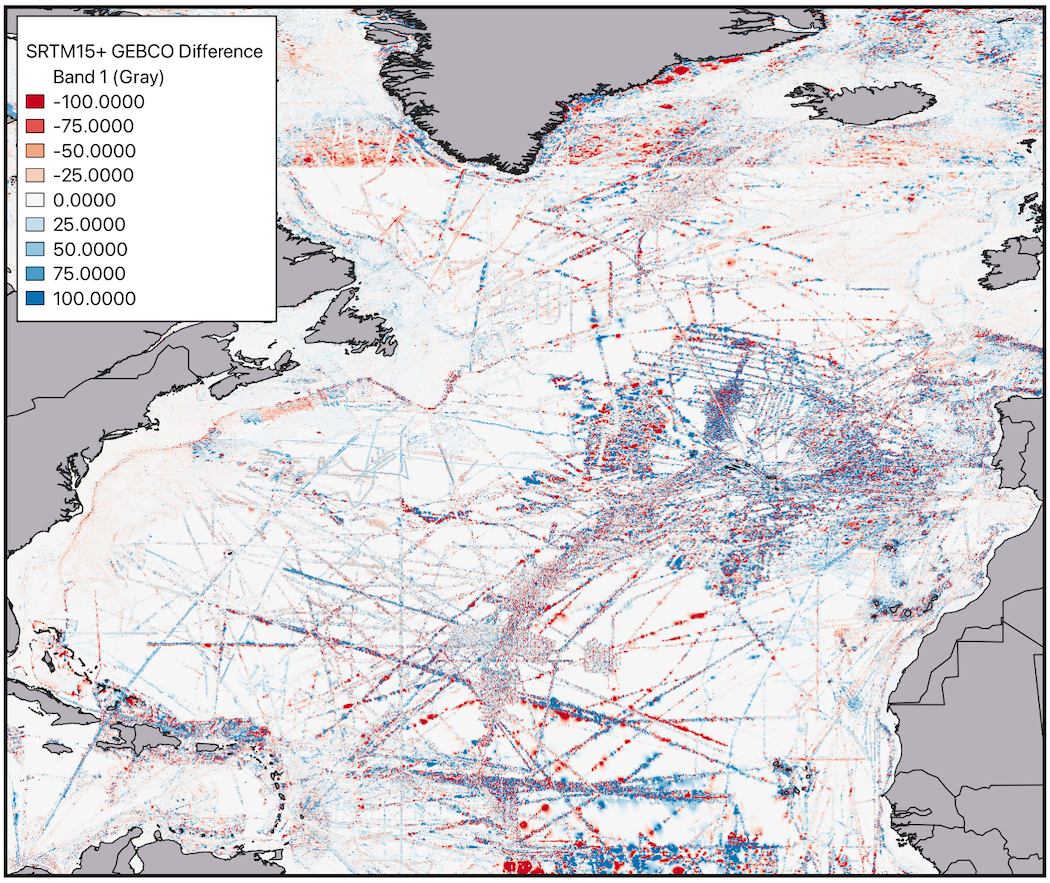
Map of the Atlantic showing the difference between the SRTM15+ bathymetric grid and the GEBCO_2023 bathymetric grid.

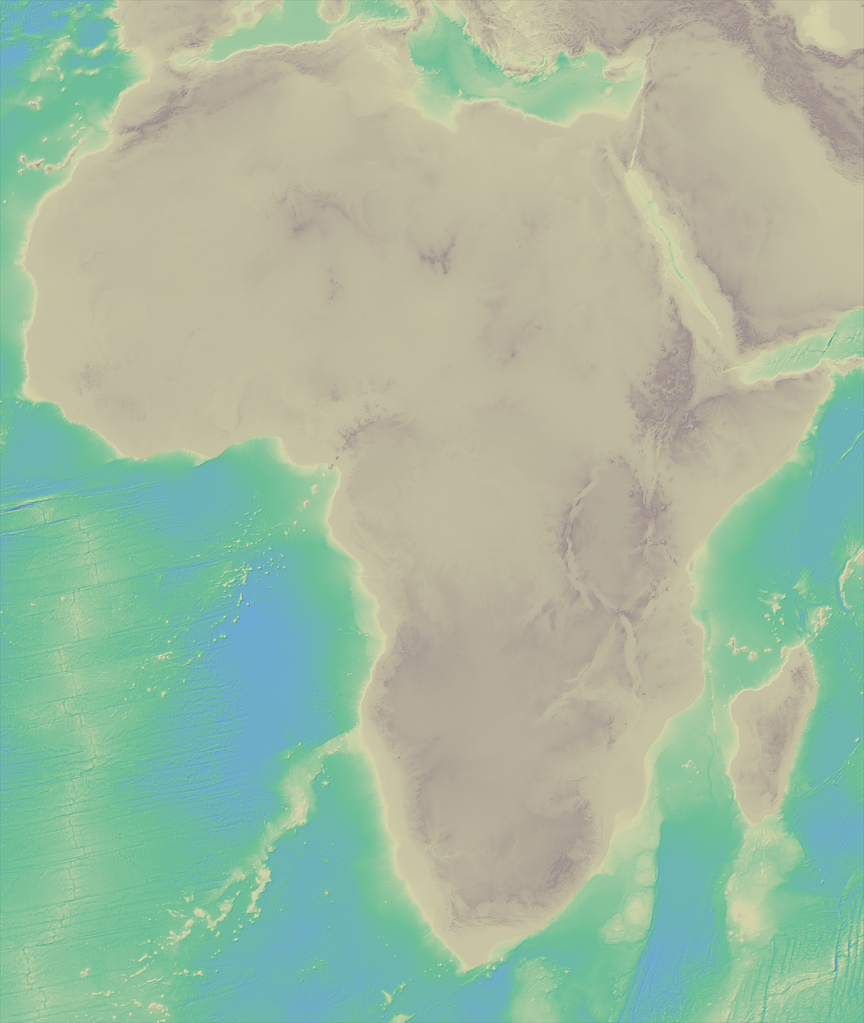
Map of the African Continent and its surrounding bathymetry. Data are colored by elevation.
Using OpenTopography's Global API Keys
The GEBCO data set is also available through OpenTopography's global dataset API. Below is an example http request that subsets the GEBCO dataset over the Antarctic Peninsula and portions of the West Antarctic Ice Sheet:
https://portal.opentopography.org/API/globaldem?demtype=GEBCOIceTopo&south=-82&north=-62.76&west=-110&east=-54&outputFormat=GTiff&API_Key=yourAPIKeyHere
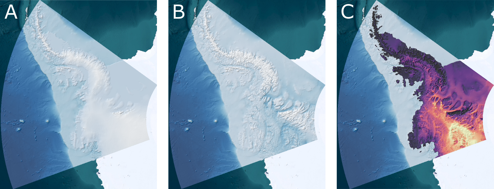
Ice thickness maps can be derived from this dataset by subtracting the bedrock topography from the ice sheet topography. Below is a figure that was generated using the above API call to the GEBCO version of the dataset with ice sheet topography and repeating the API call with the version of the dataset with basal (or bedrock) topography.

West Antarctic Ice Thickness. A. Ice sheet topography (darker blue is lower elevation, white is higher elevation). B. Bedrock topography. C. Derived Ice thickness. Brighter colors are thicker ice, and black is exposed rock surfaces. Ice thickness data is plotted on bathymetry (blue-white scale). Background Imagery: ESRI
