New NCALM datasets in Central Idaho and near Ensenada, Mexico released
OpenTopography is pleased to announce the release of two new NCALM lidar datasets. The first is an NCALM Seed Dataset collected for Nate Mitchell at Indiana University, Bloomington. These data were used in a study to measure variations in bedrock cliff morphologies along Boulder Creek, northwest of Salmon, Idaho. The second dataset covers a 2013 landslide adjacent to Salsipuedes Bay, in Baja California, Mexico as well as Punta Morro, where Ensenada's science cluster is located, hosting the campuses of CICESE, UNAM and UABC. These datasets were collected by NCALM, an NSF-funded center that supports the use of airborne laser mapping technology (a.k.a. lidar) in the scientific community and is jointly operated by the Department of Civil & Environmental Engineering, Cullen College of Engineering, University of Houston and the Department of Earth and Planetary Science, University of California, Berkeley. OpenTopography is the primary distributor of NCALM data.
Get the data:
- Salsipuedes-Punta Morro, Baja California, Mexico 2014
- Measuring Variations in Bedrock Cliff Morphologies, Idaho 2019

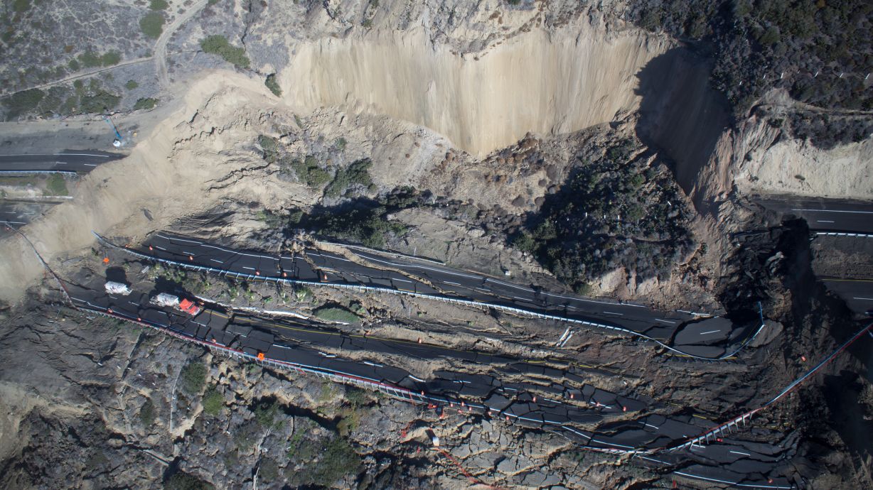
Photo of Ensenada-Tijuana scenic highway destruction caused by landslide on December 27, 2013. Image credit: A. Hinojosa-Corona. To see a video of the effects of this landslide click here.

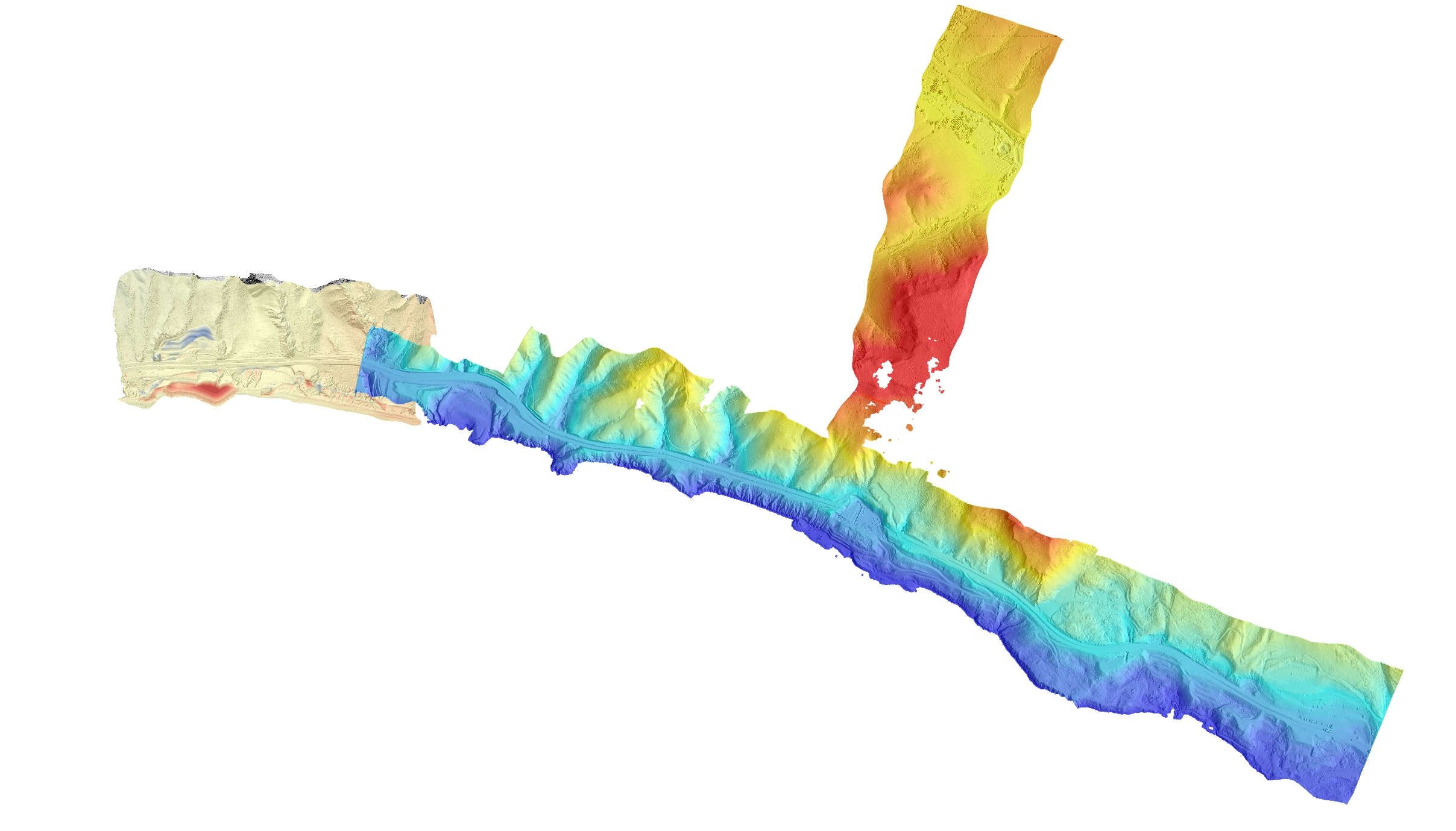
Lidar Digital Elevation Model (DEM) of Ensenada-Tijuana scenic highway after the landslide event. Image credit: A. Hinojosa-Corona.

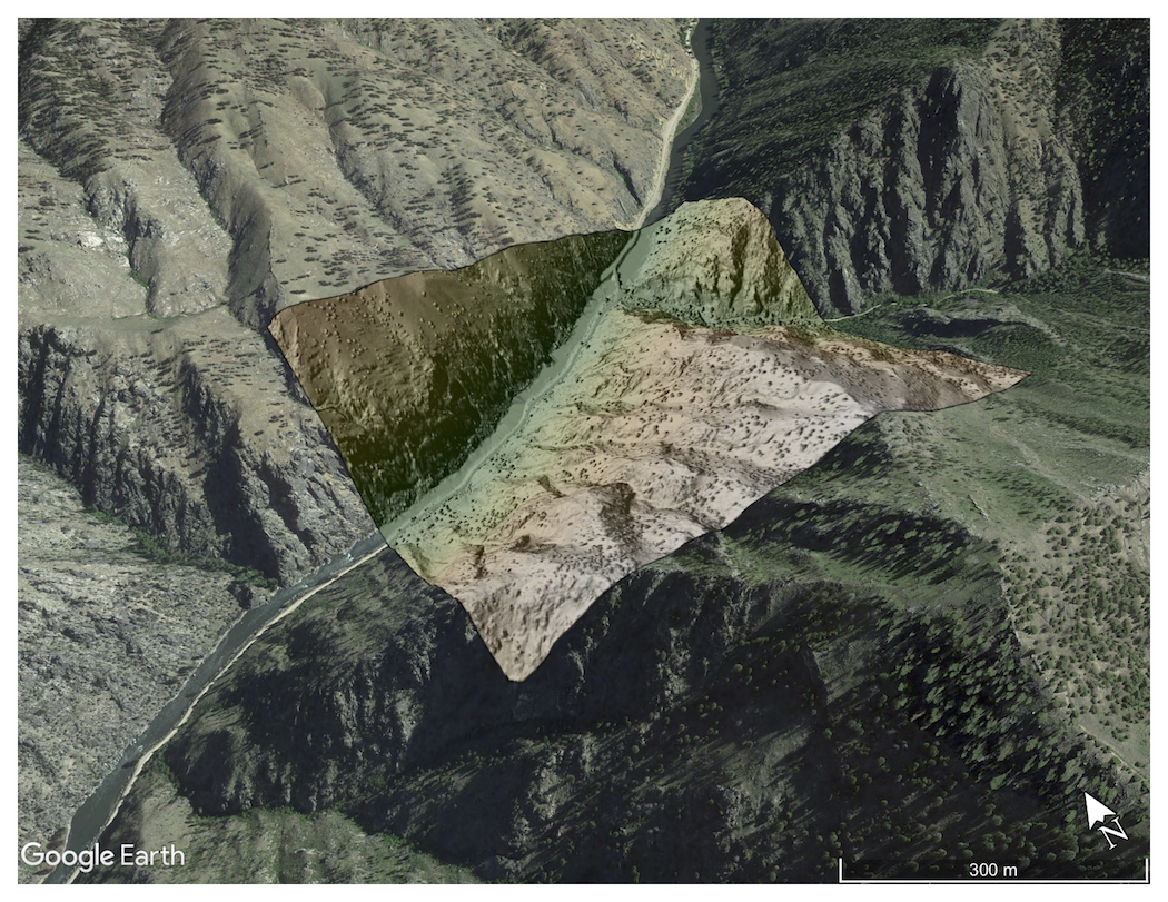
Digital Elevation Model (DEM) of cliffs along the Salmon River, Idaho.
