Hamilton, Waikato and Motueka River Valley, Tasman, New Zealand datasets released
OpenTopography is pleased to announce the release of two new lidar datasets covering over 800 km2 in New Zealand. Lidar was captured in January 2020 around the region of Hamilton City on the North Island. Another dataset was collected over the South Island between November 2018 and February 2019, and covers the Motueka River Valley, Betty's Beach and Eve's Valley. These datasets are available through on ongoing collaboration between OpenTopography and Land Information New Zealand (LINZ), that makes OpenTopography the primary distribution platform for point cloud data collected as part of the LINZ national elevation program.
Get the data:
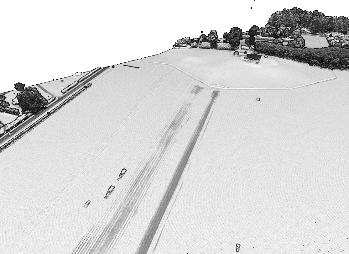
 Lidar intensity image showing machinery working on a farm.

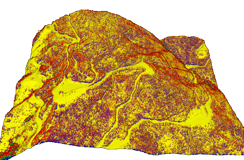
Lidar point cloud colored by return number showing a forest road. First returns are red, last returns are yellow, while blue, green, and orange represent intermediate returns.
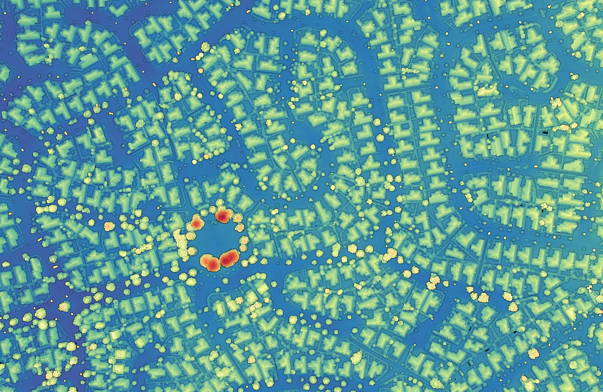
 Point cloud colored by elevation. Hamilton, New Zealand suburbs.
