Three new NCALM datasets released from California, and Mexico
OpenTopography is pleased to announce the release of three new datasets covering areas of California, and Mexico. These datasets were collected by NCALM, an NSF-funded center that supports the use of airborne laser mapping technology (a.k.a. lidar) in the scientific community and is jointly operated by the Department of Civil & Environmental Engineering, Cullen College of Engineering, University of Houston and the Department of Earth and Planetary Science, University of California, Berkeley. OpenTopography is the primary distributor of NCALM data
Get the data:
- High Resolution Topography near Santa Cruz, CA 2017
- High Resolution Topography over Gabilan Mesa, CA 2003
- Agua Blanca Fault, Baja California, Mexico
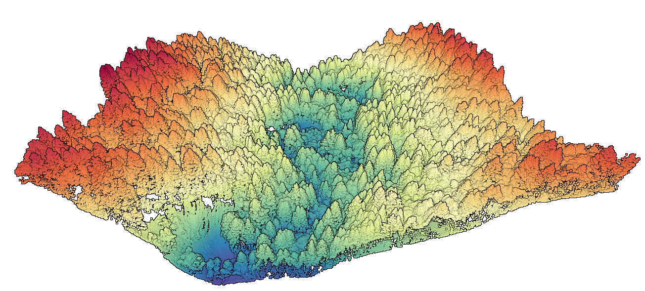
 3D point cloud of a forested valley with points colored by elevation. Amaya creek runs through this section of the Soquel Demonstration State Forest in California.

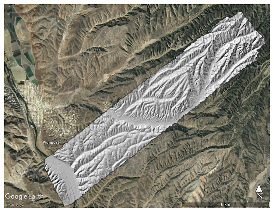
Hillshade of evenly spaced ridges and valleys within the Gabilan Mesa, California. For more information on how these features are formed, see the paper:
Perron, J. Taylor, James W. Kirchner, and William E. Dietrich. "Formation of evenly spaced ridges and valleys." Nature 460.7254 (2009): 502-505.

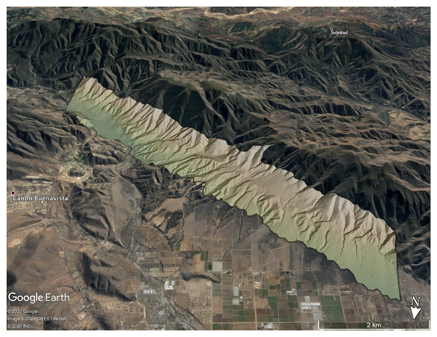
Colored hillshade of a section of the Agua Blanca Fault in Mexico. Hillshade is draped on Google Earth imagery.
