Two new Land Information New Zealand (LINZ) datasets released
OpenTopography is pleased to announce the release of two new lidar datasets covering over 1100 km2. Both datasets were collected in 2018, and cover the Christchurch city area in the South Island, as well as the Palmerston North region in the North Island of New Zealand. These datasets are available through on ongoing collaboration between OpenTopography and Land Information New Zealand (LINZ), that makes OpenTopography the primary distribution platform for point cloud data collected as part of the LINZ national elevation program.
Get the data:
- Palmerston North, Manawatu-Whanganui, New Zealand 2018
- Christchurch and Ashley River, Canterbury, New Zealand 2018
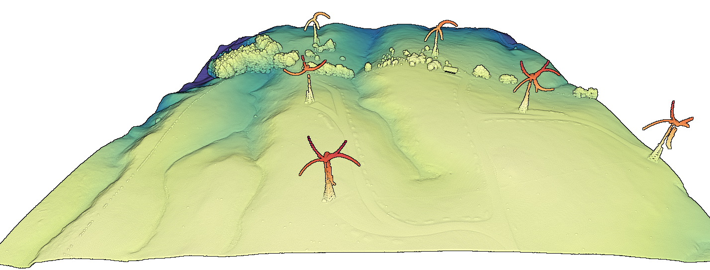
 3D lidar point cloud colored by elevation showing wind turbines in Palmerston North. The distorted appearance is due to the lidar system moving over the turbines and scanning as the turbine blades are simultaneously turning towards and away from the plane.

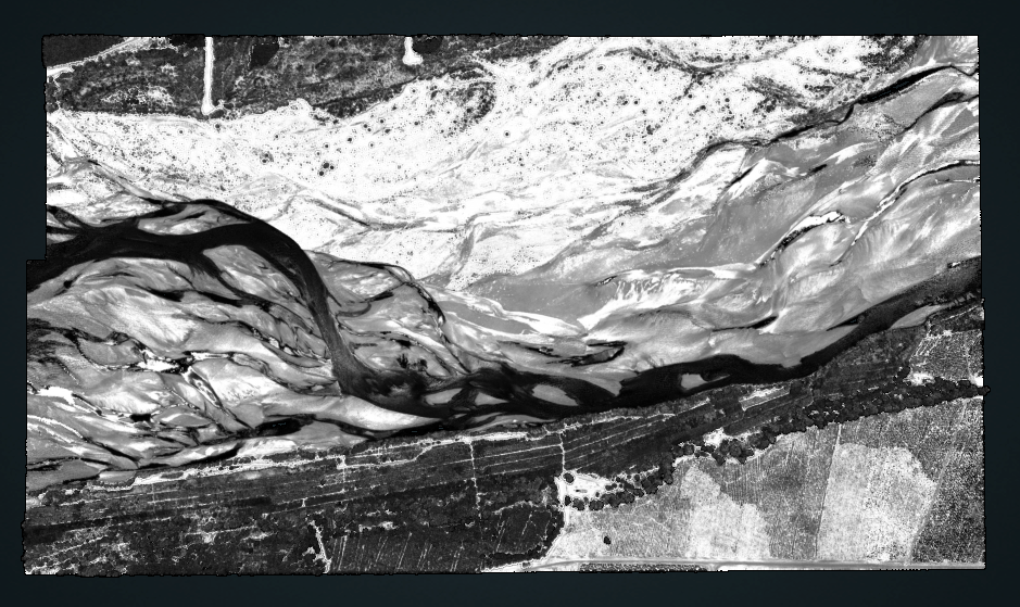
Lidar intensity values over the Waimakariri River in the Southern Island.
