Two new NCALM datasets over Alaska now available
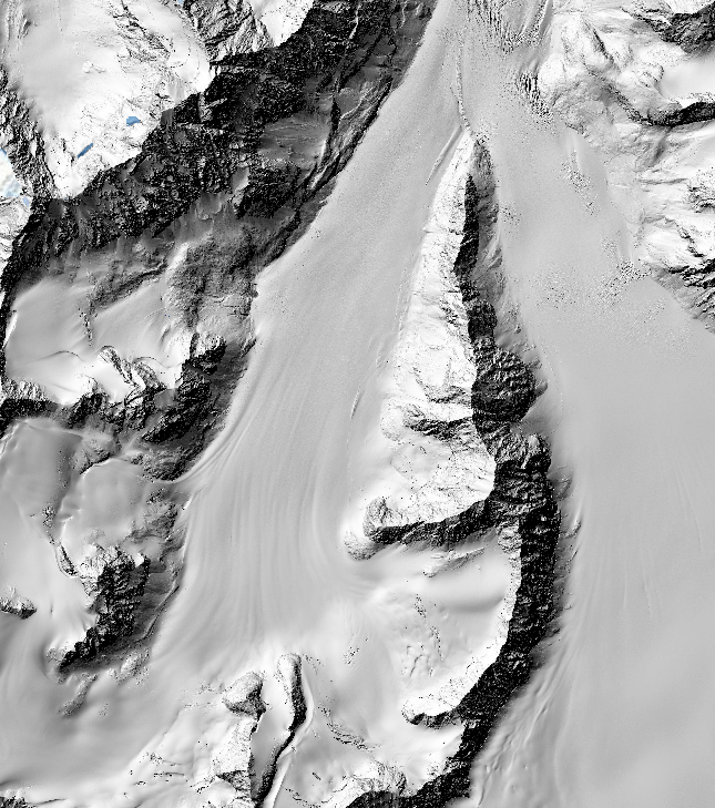
Two new NCALM (National Center for Airborne Laser Mapping) seed datasets are now available from OpenTopography. The dataset, "Monitoring the Mass Balance of Eklutna Glacier, AK 2023" was collected for Caroline Brisbois at the Institute of Culture & Environment, Alaska Pacific University and aims to compare lidar versus structure from motion photogrammetry for monitoring the geodetic mass balance of the Eklutna Glacier east of Anchorage, Alaska.
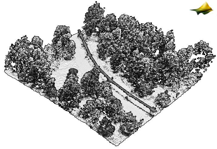
The dataset, "Detecting Changes in Hillslope Geomorphology Due to Thawing Permafrost, AK 2023" was collected for Zena Robert at Montana State University in order to detect changes in hillslope geomorphology due to thawing permafrost in the interior of Alaska.
NCALM is an NSF-funded center that supports the use of airborne laser mapping technology (a.k.a. lidar) in the scientific community and is jointly operated by the Department of Civil & Environmental Engineering, Cullen College of Engineering, University of Houston and the Department of Earth and Planetary Science, University of California, Berkeley. OpenTopography is the primary distributor of NCALM data.
Find the data here:
- Monitoring the Mass Balance of Eklutna Glacier, AK 2023
- Detecting Changes in Hillslope Geomorphology Due to Thawing Permafrost, AK 2023

3D point cloud colored by intensity of the Trans-Alaska pipeline. (Dataset: Detecting Changes in Hillslope Geomorphology Due to Thawing Permafrost, AK 2023).

Hillshade of a portion of the Eklutna Glacier. (Dataset: Monitoring the Mass Balance of Eklutna Glacier, AK 2023).
