New Data over New Zealand from LINZ
New and updated Land Information New Zealand (LINZ) datasets are now available through OpenTopography. These datasets collectively add over 22,000 km2 of high resolution topographic data over New Zealand (see areas in red on map below). These datasets are available through an ongoing collaboration between OpenTopography and LINZ as part of the LINZ National Elevation Program.
Find the data here:
- West Coast, New Zealand 2020-2022 (addendum)
- Hawke's Bay, New Zealand 2023 - 2024
- Bay of Plenty, New Zealand 2024
- Northland, New Zealand 2024
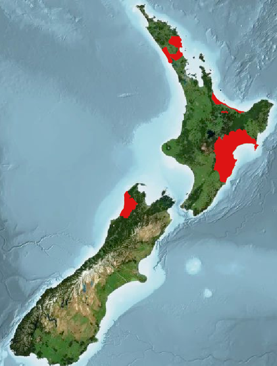
Spatial coverage of additional regions of LINZ datasets highlighted in red.
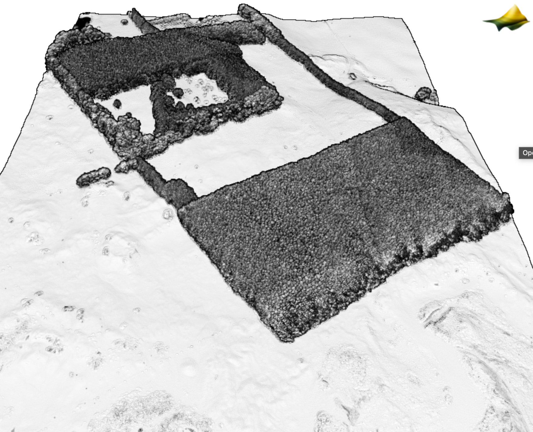
3D point cloud colored by intensity of managed agricultural land and stand of trees. Data Source: Northland, New Zealand 2024.
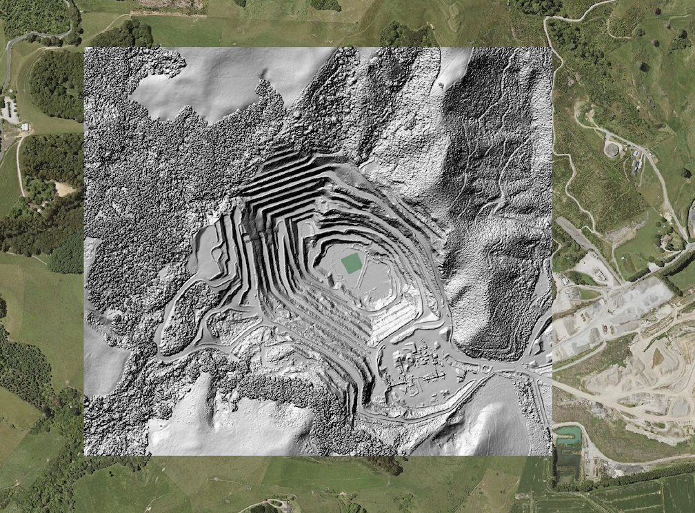
Hillshade of a mining operation from the dataset: Bay of Plenty, New Zealand 2024
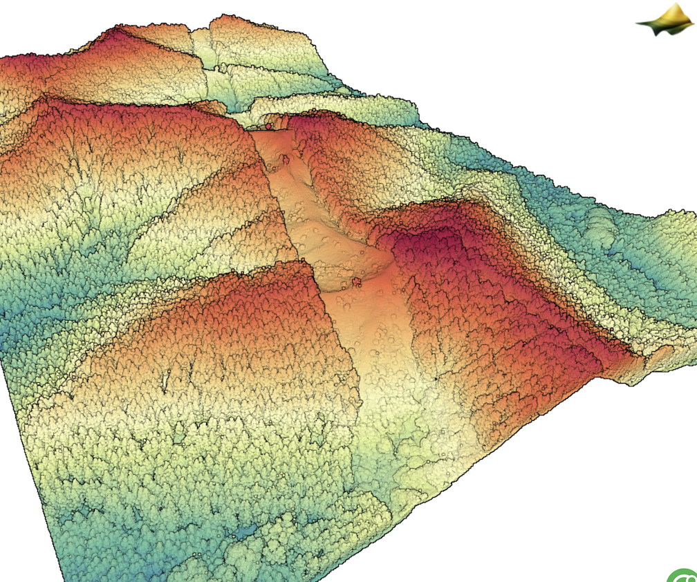
3D point cloud colored by elevation of a power line swath from the dataset: Hawke's Bay, New Zealand 2023 - 2024
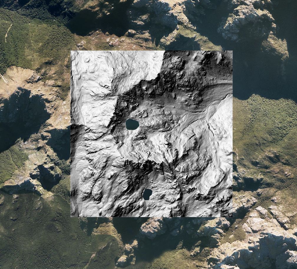
Hillshade of a section of the Paparoa Range from the dataset: West Coast, New Zealand 2020-2022
