Resources for Educators
This page highlights resources and documents related to using high resolution topography (e.g., lidar) and OpenTopography in the classroom. To learn more about OpenTopography or lidar data, please visit the Getting Started page. Other resources are highlighted on the resources for students and resources for researchers pages, which we encourage users to explore. If you have any questions, visit our Frequently Asked Questions (FAQ) or email us at info@opentopography.org
High Resolution Topography in the Classroom
OpenLandform Catalog
The OpenTopography OpenLandform Catalog serves as a resource to explore geologic landforms in high resolution digital topography for teachers, students or any interested user. This resource brings real world cutting edge digital topographic data to an accessible level that can be interrogated and explored using free tools, such as Google Earth.


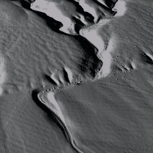
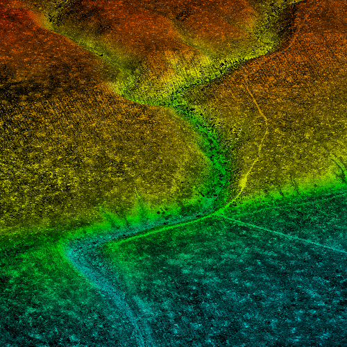
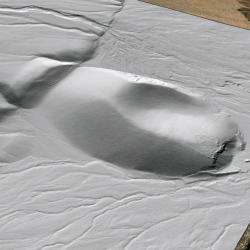
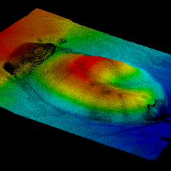
(left to right) Wallace Creek hillshade image, point cloud image, and Fish Springs Cinder Cone hillshade image, point cloud image.
Topographic differencing: Earthquake along the Wasatch fault
Undergraduate-oriented exercise where students pretend that they are geologists working for the United States Geological Survey (USGS) and must respond to a recent earthquake along the Wasatch Fault. They aid in the response by mapping the surface rupture and calculating the surface displacement, coseismic slip, and earthquake magnitude from high resolution lidar topographic imagery acquired before and after the earthquake.
A Structural Geology Exercise for Remotely Examining Folds at Painted Canyon Near the San Andreas Fault
In this activity designed for a structural geology class, students use CloudCompare to make orientation measurements of a fold near the San Andreas Fault.
Resources Related to Teaching with High Resolution Topography
This table features more hands on resources and tools for applying lidar data to teach Earth science. Resources were sourced from OpenTopography short courses as well as the Earth science education community. If you have a lab or exercise associated with lidar or OpenTopography, please email us at info@opentopography.org if you'd like it included in this list.
| Wallace Creek Field Trip Student Guide |
|
OpenTopography Short Course | Undergraduate |
| Advanced GIS: Building DEMs with Airborne LiDAR |
|
Dr. Joe Wheaton, Utah State University | Undergraduate - Graduate |
| Making a Geologic Map with ArcGIS |
|
GSA Short Course, Dr. Mike Oskin, UC Davis | Undergraduate |
| Slip Rates and Uncertainty at Wallace Creek Wallace Creek Sample data (.zip) |
|
GSA Short Course, Dr. Mike Oskin, UC Davis | Undergraduate - graduate |
| LaDiCaoz Tutorial LaDiCaoz Software (Dropbox) |
|
Dr. Olaf Zielke, Arizona State University, OpenTopography Short Course | Undergraduate - Graduate |
| Extracting Information from DEMs in ArcMap |
|
OpenTopography Short Course | Undergraduate |
| Measuring Earthquake-Generated Surface Offsets from High-Resolution Digital Topography |
|
David Haddad, Arizona State University | Undergraduate - Graduate |
| Recognizing and mapping faults using lidar and field data |
|
SERC | Undergraduate |
Related Resources from SERC
| Title & Link | ||
|---|---|---|
| How do I use GIS in Introductory Geoscience? |
|
SERC |
| Investigating Earthquakes: GIS Mapping and Analysis |
|
SERC |
| Teaching with Google Earth |
|
SERC |
